Photograph as originally submitted to
this page in the Historical Marker Database
www.HMdb.org.
Click on photo to resize in browser. Scroll down to see metadata.
Photographer: Dale K. Benington
Taken: August 4, 2010
Caption:
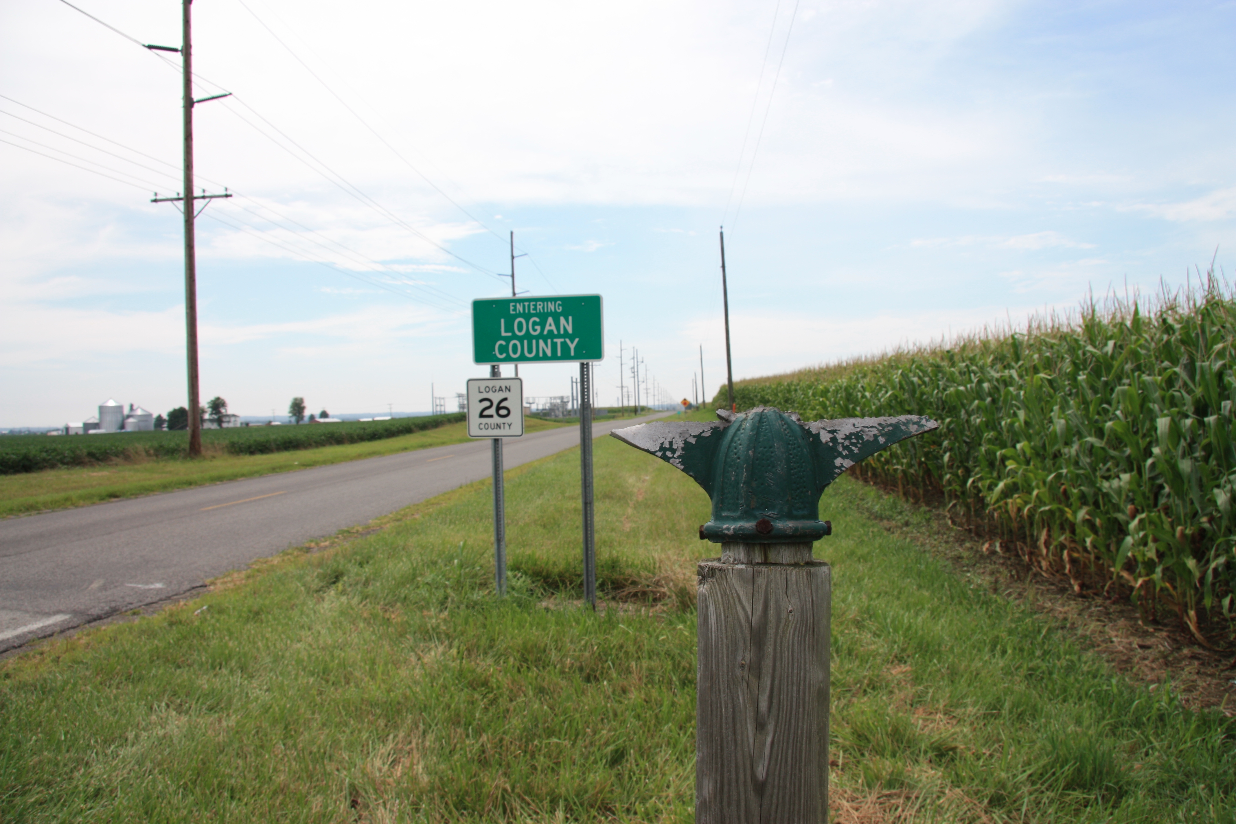
Greenville Treaty Line / Indian Boundary Marker | Additional Description: View of the broken off base of the historical marker, with a view of the Logan County line in the background.
Submitted: January 23, 2011, by Dale K. Benington of Toledo, Ohio.
Database Locator Identification Number: p142995
File Size: 3.395 Megabytes
To see the metadata that may be embedded in this photo, sign in and then return to this page.