Photograph as originally submitted to
this page in the Historical Marker Database
www.HMdb.org.
Click on photo to resize in browser. Scroll down to see metadata.
Photographer: David Seibert
Taken: January 17, 2011
Caption:
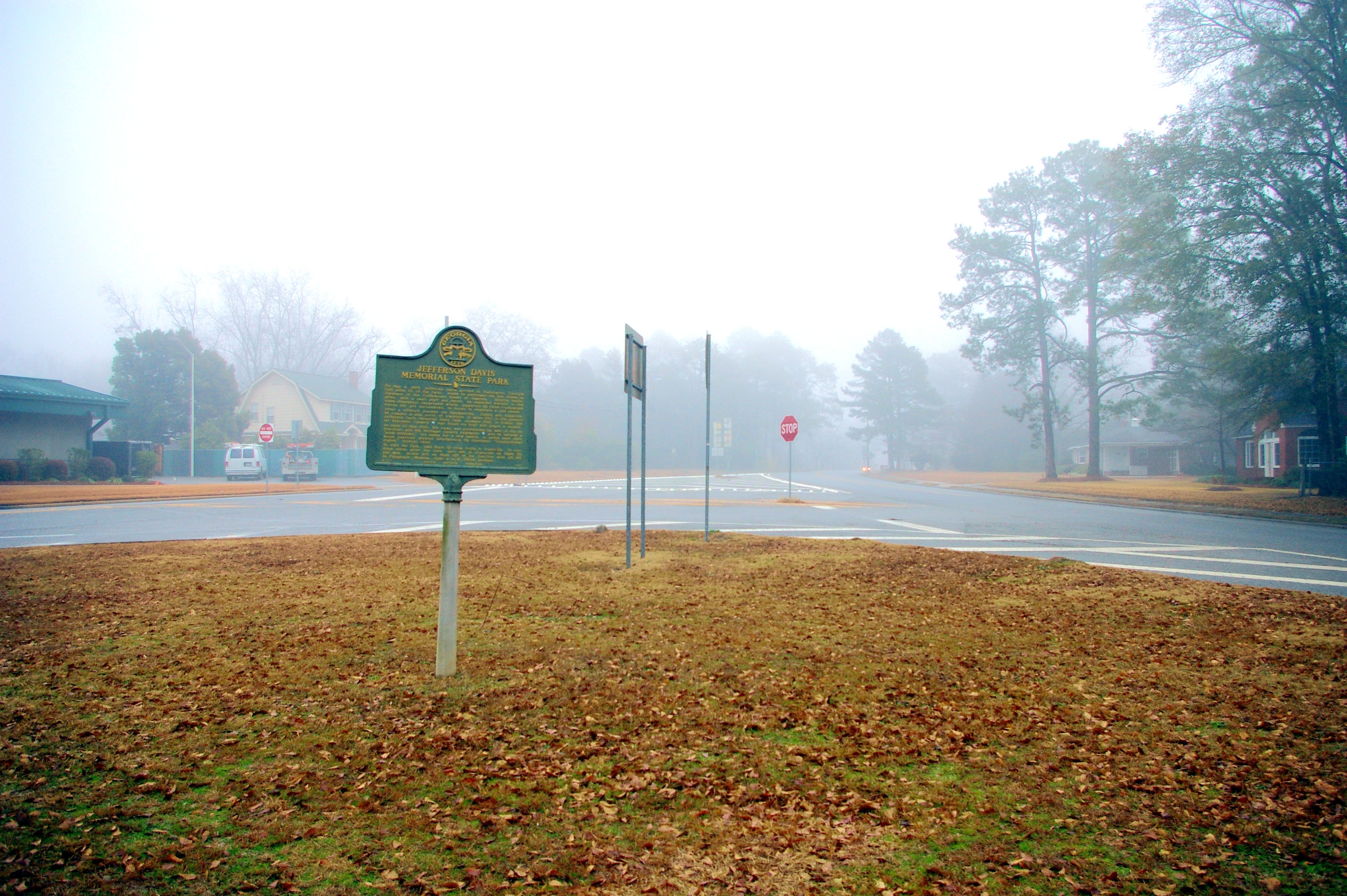
Jefferson Davis Memorial State Park Marker | Additional Description: Looking east at the junction of Georgia Highways 32 (left) and 35 (right) at the western edge of Ocilla.
Submitted: February 1, 2011, by David Seibert of Sandy Springs, Georgia.
Database Locator Identification Number: p143544
File Size: 1.130 Megabytes
To see the metadata that may be embedded in this photo, sign in and then return to this page.