Photograph as originally submitted to
this page in the Historical Marker Database
www.HMdb.org.
Click on photo to resize in browser. Scroll down to see metadata.
Photographer: Kevin W.
Taken: February 19, 2011
Caption:
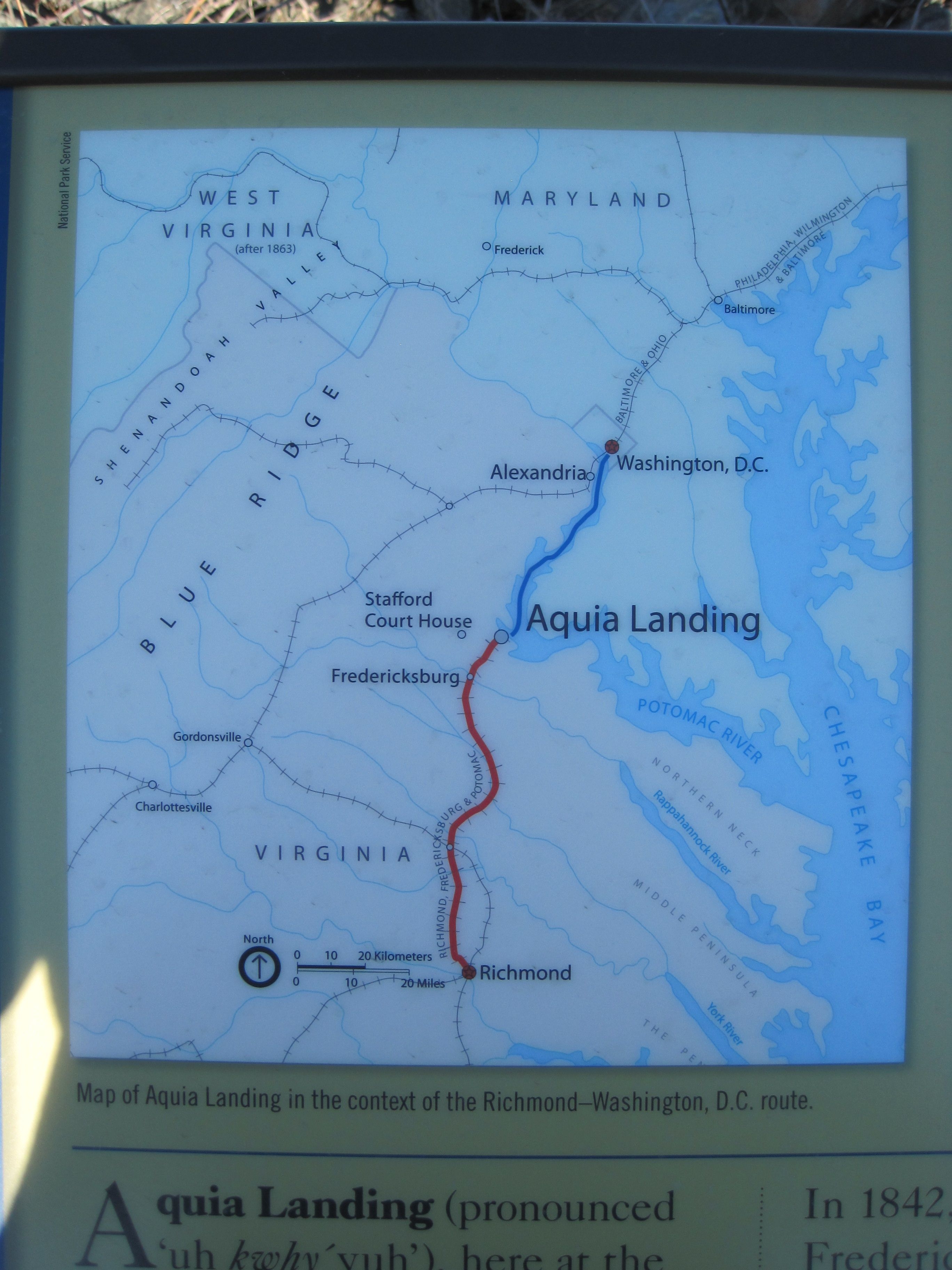
Picture of map on the Steamships, Stages and Slave Trade Marker | Additional Description: "Map of Aquia Landing in the context of the Richmond-Washington, D.C. route."
Map provided for use on the marker by the National Park Service. The red line is the railroad line from Richmond to Aquia. The blue line is the steamship route from Aquia to Washington, D.C.
Submitted: February 6, 2011, by Kevin W. of Stafford, Virginia.
Database Locator Identification Number: p143981
File Size: 1.837 Megabytes
To see the metadata that may be embedded in this photo, sign in and then return to this page.