Photograph as originally submitted to
this page in the Historical Marker Database
www.HMdb.org.
Click on photo to resize in browser. Scroll down to see metadata.
Photographer: Craig Swain
Taken: Circa 1998
Caption:
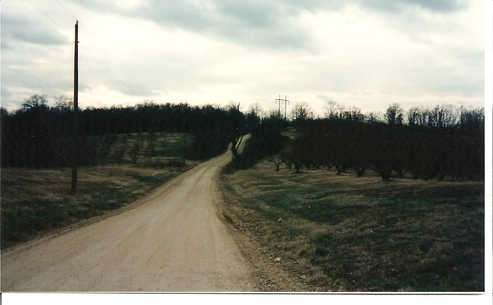
Military Road on the Missiouri Side | Additional Description: This section of road in Dunklin County traces the route of the old Military Road running across Crowley's Ridge. The rise in the distance is locally known as Gravel Hill and was used by the Confederates to delay the Federals approaching the ferry (or more accurately the fabricated bridge) site.
Submitted: January 23, 2008, by Craig Swain of Leesburg, Virginia.
Database Locator Identification Number: p14490
File Size: 0.065 Megabytes
To see the metadata that may be embedded in this photo, sign in and then return to this page.