Photograph as originally submitted to
this page in the Historical Marker Database
www.HMdb.org.
Click on photo to resize in browser. Scroll down to see metadata.
Photographer: Andrew Ruppenstein
Taken: March 4, 2011
Caption:
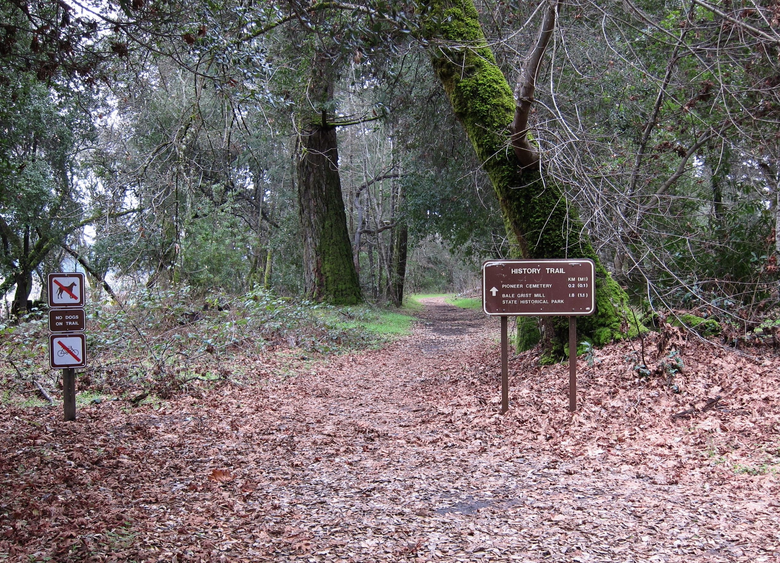
How to reach this marker..... | Additional Description: From the park entrance kiosk (there is an entrance fee), keep driving straight (south) as far as one can go and park. The trailhead and sign (pictured above) for the History Trail should be visible. Follow the path for a few hundred feet, and arrive at a large clearing, which once held the church and its cemetery. The marker is at the north end of the clearing, and the cemetery lies a bit further south. The church itself is no longer extant.
Submitted: March 11, 2011, by Andrew Ruppenstein of Lamorinda, California.
Database Locator Identification Number: p146762
File Size: 2.510 Megabytes
To see the metadata that may be embedded in this photo, sign in and then return to this page.