Photograph as originally submitted to
this page in the Historical Marker Database
www.HMdb.org.
Click on photo to resize in browser. Scroll down to see metadata.
Photographer: Patrick G. Jordan
Taken: March 7, 2011
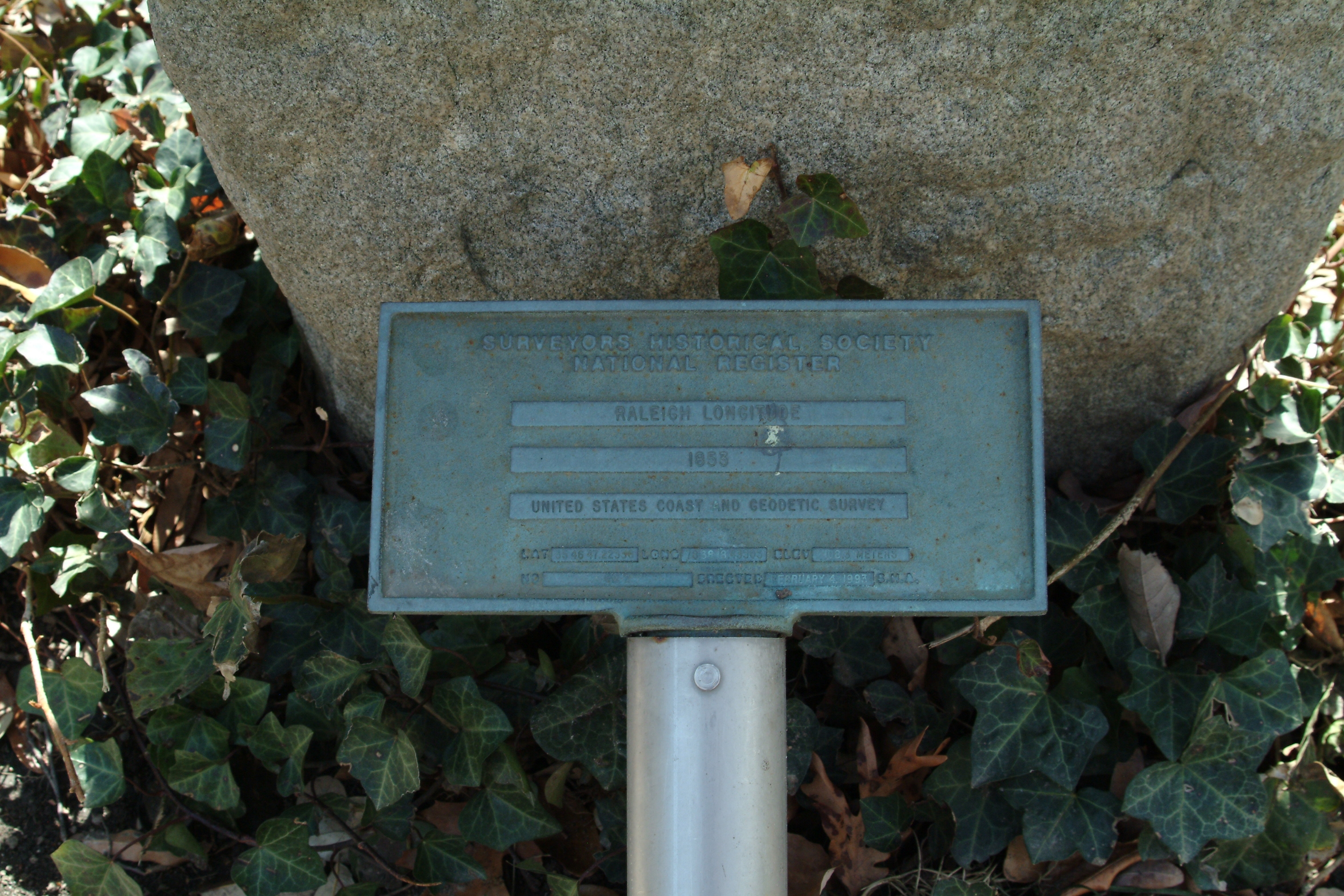
Caption:
Surveyors Historical Society National Register | Additional Description:
Raleigh Longitude 1853
United States Coast and Geodetic Survey
Lat 35 46 47.22336 Long 78 38 18.43303
Elev 108.3 meters
No ___ Erected Feburary 4, 1993 S.M.A.
Submitted: March 13, 2011, by Patrick G. Jordan of Graham, North Carolina.
Database Locator Identification Number: p146981
File Size: 2.372 Megabytes
To see the metadata that may be embedded in this photo, sign in and then return to this page.