Photograph as originally submitted to
this page in the Historical Marker Database
www.HMdb.org.
Click on photo to resize in browser. Scroll down to see metadata.
Photographer: Missouri State Parks
Taken: undated
Caption:
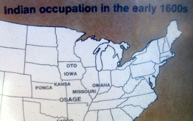
Map on The Osage Indians Marker | Additional Description: Indian occupation in the early 1600s
Submitted: March 16, 2011, by William Fischer, Jr. of Scranton, Pennsylvania.
Database Locator Identification Number: p147342
File Size: 0.080 Megabytes
To see the metadata that may be embedded in this photo, sign in and then return to this page.