Photograph as originally submitted to
this page in the Historical Marker Database
www.HMdb.org.
Click on photo to resize in browser. Scroll down to see metadata.
Photographer: Craig Swain
Taken: September 22, 2007
Caption:
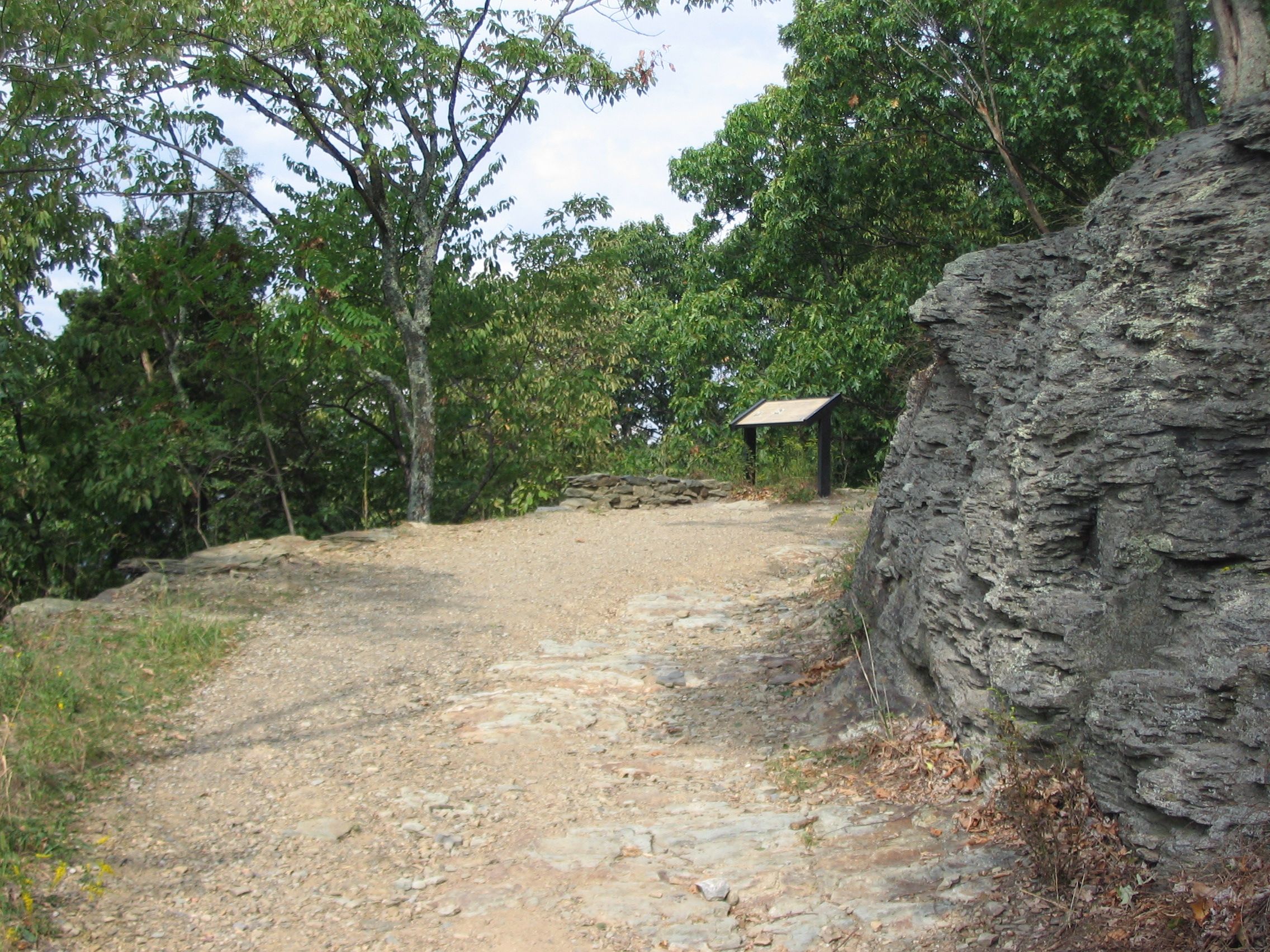
Maryland Heights - Mountain Fortress of Harpers Ferry Marker | Additional Description: The trail path through this point uses the same course as a "military road" used to bring cannon and supplies to the top of the heights during the Civil War.
Submitted: January 27, 2008, by Craig Swain of Leesburg, Virginia.
Database Locator Identification Number: p14758
File Size: 1.624 Megabytes
To see the metadata that may be embedded in this photo, sign in and then return to this page.