Photograph as originally submitted to
this page in the Historical Marker Database
www.HMdb.org.
Click on photo to resize in browser. Scroll down to see metadata.
Photographer: Craig Swain
Taken: August 12, 2007
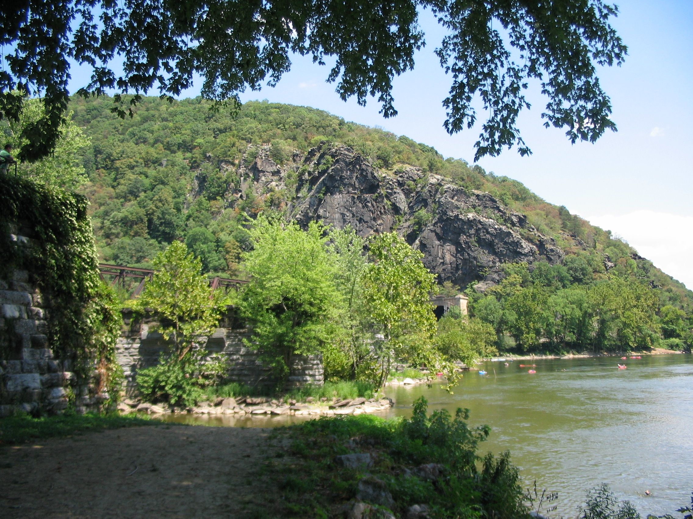
Caption:
Maryland Heights from Waterlevel | Additional Description: From the banks at the confluence of the Potomac and Shenandoah looking up at Maryland Heights. The trail ascends the mountain and affords a view of the town from the top of the cliffs, from which the photo above was taken. The ruins of old railroad bridges still stand in the Potomac River on the right side of the photo. Visible just over the trees at the base of the mountain is the Harpers Ferry tunnel, passing through about 1000 feet of the southern tip of Maryland Heights.
Submitted: January 27, 2008, by Craig Swain of Leesburg, Virginia.
Database Locator Identification Number: p14763
File Size: 1.625 Megabytes
To see the metadata that may be embedded in this photo, sign in and then return to this page.