Photograph as originally submitted to
this page in the Historical Marker Database
www.HMdb.org.
Click on photo to resize in browser. Scroll down to see metadata.
Photographer: Craig Swain
Taken: September 22, 2007
Caption:
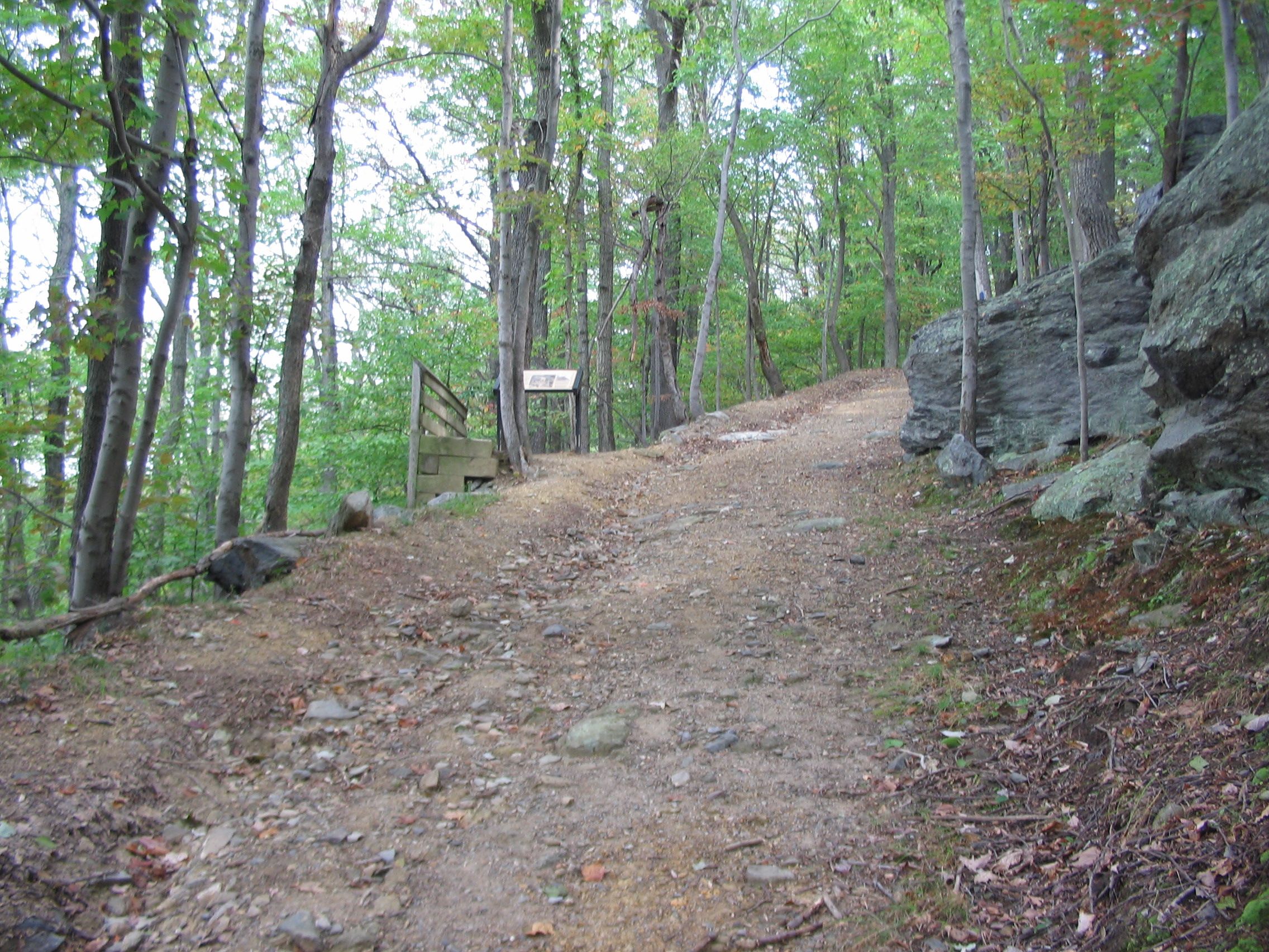
Marker Along the Stone Fort Trail Loop | Additional Description: The trail traces the military road on the west side of Maryland Heights. Yes the trail is rather steep.
Submitted: January 27, 2008, by Craig Swain of Leesburg, Virginia.
Database Locator Identification Number: p14791
File Size: 1.585 Megabytes
To see the metadata that may be embedded in this photo, sign in and then return to this page.