Photograph as originally submitted to
this page in the Historical Marker Database
www.HMdb.org.
Click on photo to resize in browser. Scroll down to see metadata.
Photographer: David Seibert
Taken: April 1, 2011
Caption:
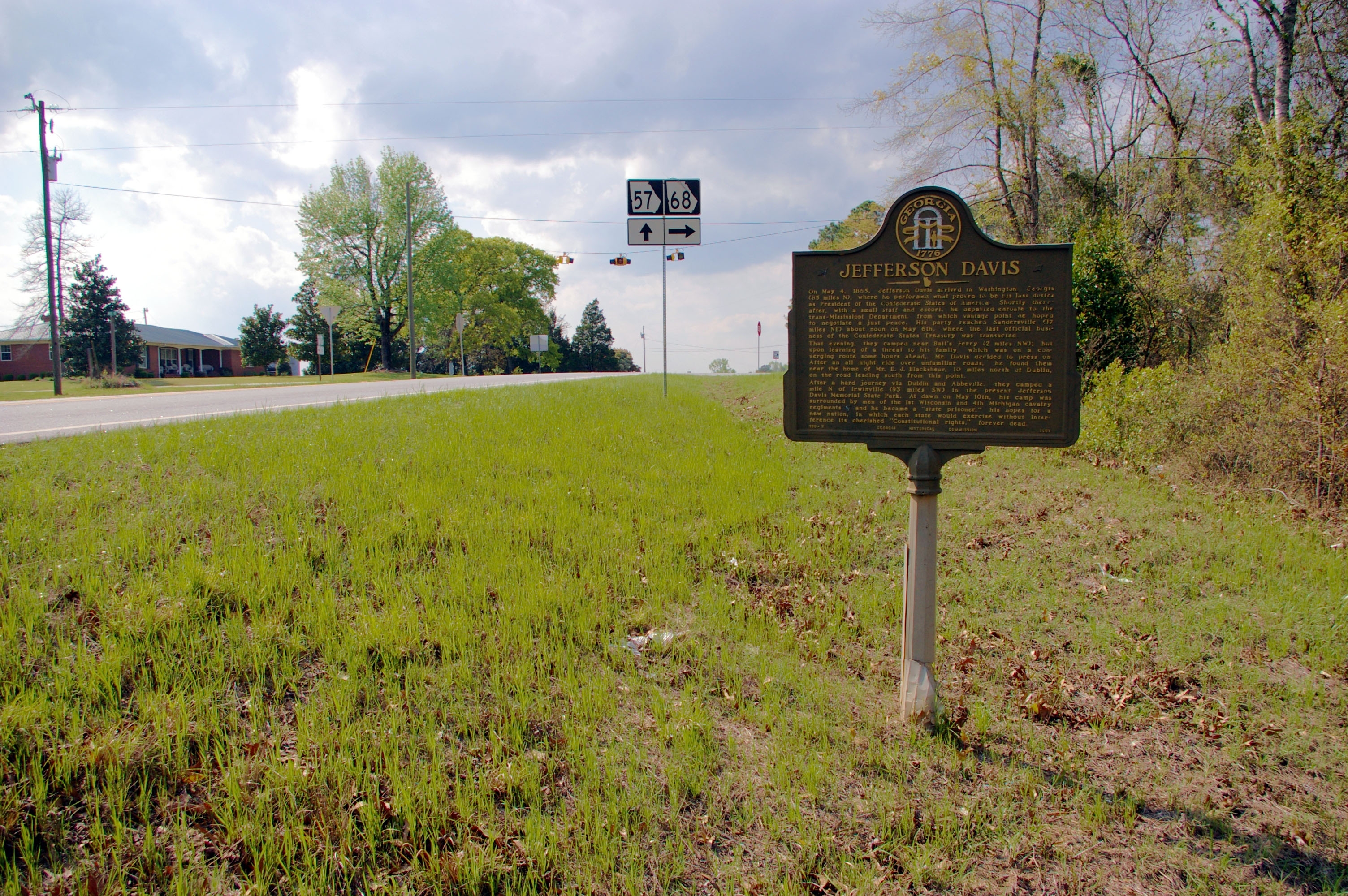
Jefferson Davis Marker | Additional Description: Looking west on Georgia Highway 57 toward the intersection with Georgia Highway 68, and the site of Ball's Ferry across the Oconee River.
Submitted: April 3, 2011, by David Seibert of Sandy Springs, Georgia.
Database Locator Identification Number: p149027
File Size: 1.602 Megabytes
To see the metadata that may be embedded in this photo, sign in and then return to this page.