Photograph as originally submitted to
this page in the Historical Marker Database
www.HMdb.org.
Click on photo to resize in browser. Scroll down to see metadata.
Photographer: F. Robby
Taken: January 28, 2008
Caption:
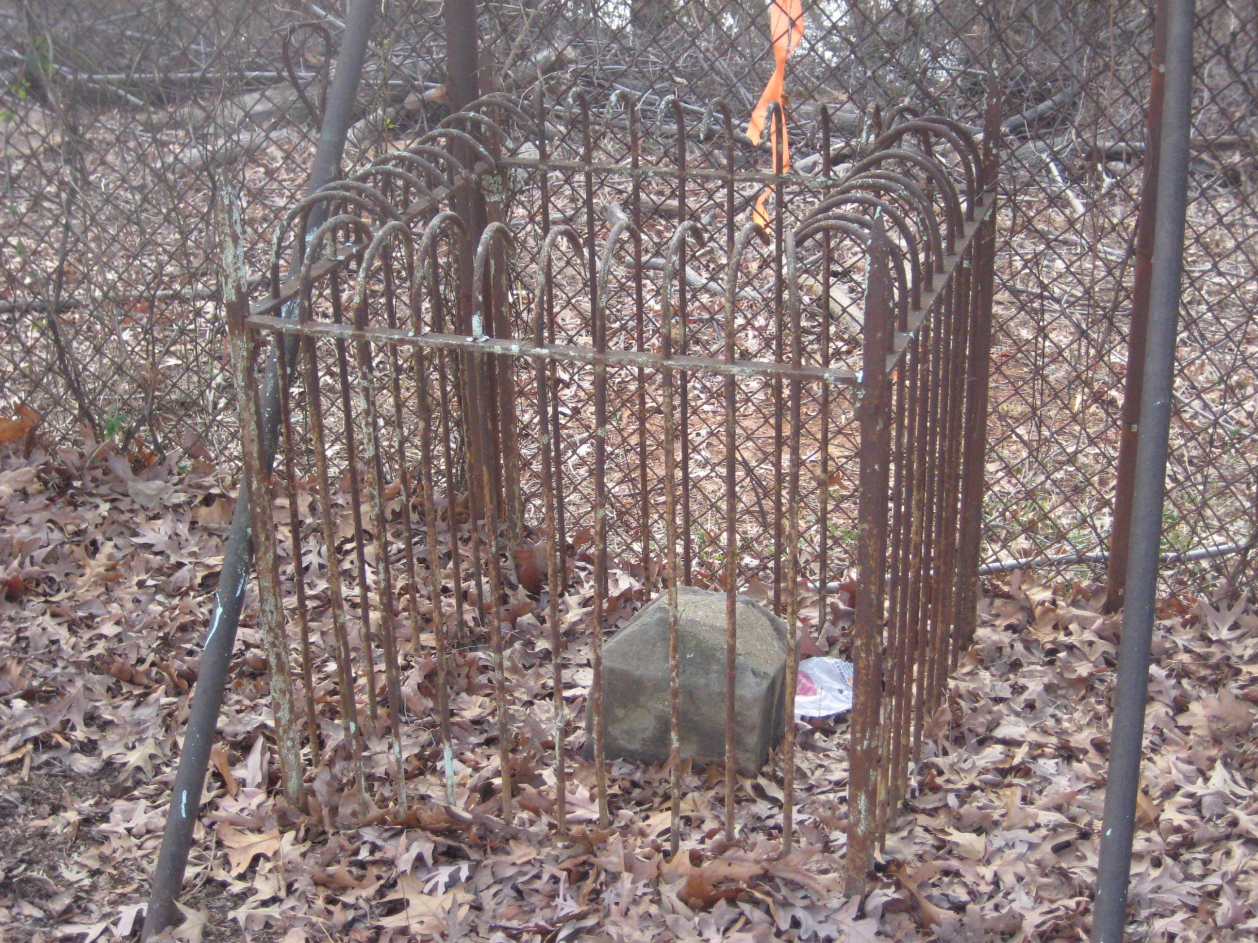
District of Columbia Boundary Marker | Additional Description: The boundary marker, laid in 1792, is located about 8-tenths of a mile inside the cemetery grounds, alongside the fenceline of the cemetery. Most of the markings on the marker are now below the ground.
Submitted: January 29, 2008, by F. Robby of Baltimore, Maryland.
Database Locator Identification Number: p15018
File Size: 1.056 Megabytes
To see the metadata that may be embedded in this photo, sign in and then return to this page.