Photograph as originally submitted to
this page in the Historical Marker Database
www.HMdb.org.
Click on photo to resize in browser. Scroll down to see metadata.
Caption:
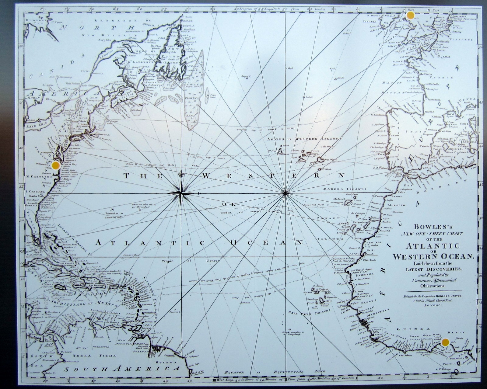
Map, Atlantic Ocean, ca. 1794 | Additional Description: Carrington Bowles, Bowles New One-Sheet Chart of the Atlantic or Western Ocean (London, ca. 1794). As shown on www.slaveryimages.org (image reference JCB_C-6717), sponsored by the Virginia Foundation for the Humanities and the University of Virginia Library.
Submitted: April 20, 2011, by Bernard Fisher of Richmond, Virginia.
Database Locator Identification Number: p150814
File Size: 0.566 Megabytes
To see the metadata that may be embedded in this photo, sign in and then return to this page.