Photograph as originally submitted to
this page in the Historical Marker Database
www.HMdb.org.
Click on photo to resize in browser. Scroll down to see metadata.
Photographer: John Intile
Taken: May 8, 2011
Caption:
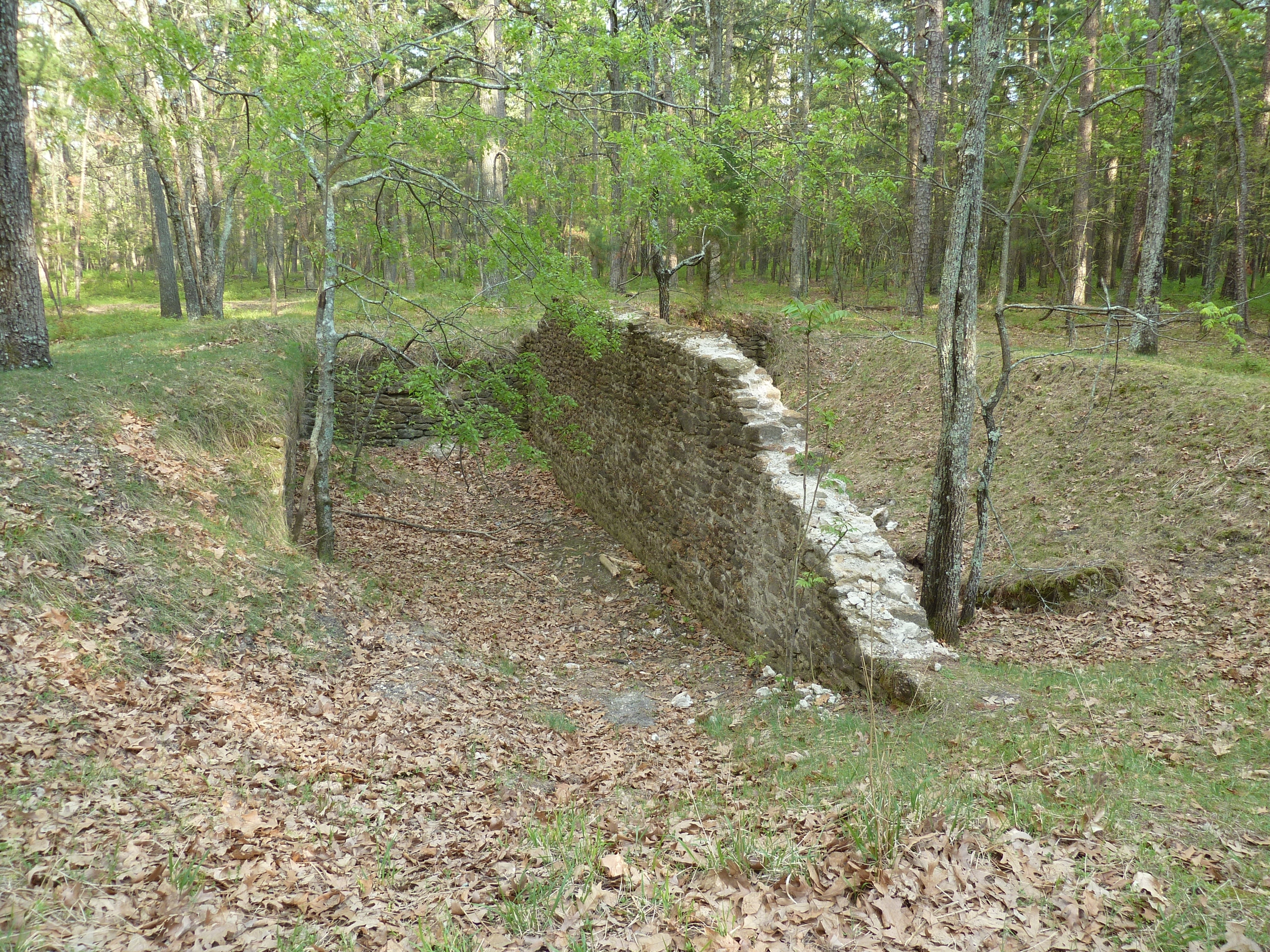
Remnants of Wharton-era barn in the forrest. | Additional Description: This ruin is miles deep into the forest along Iron Pipe Road. Its coordinates are N39 40.983'
W74 34.526'. An experienced guide is highly recommended.
Submitted: May 12, 2011, by John Intile of Toms River, New Jersey.
Database Locator Identification Number: p152970
File Size: 5.146 Megabytes
To see the metadata that may be embedded in this photo, sign in and then return to this page.