Photograph as originally submitted to
this page in the Historical Marker Database
www.HMdb.org.
Click on photo to resize in browser. Scroll down to see metadata.
Photographer: Craig Swain
Taken: May 21, 2011
Caption:
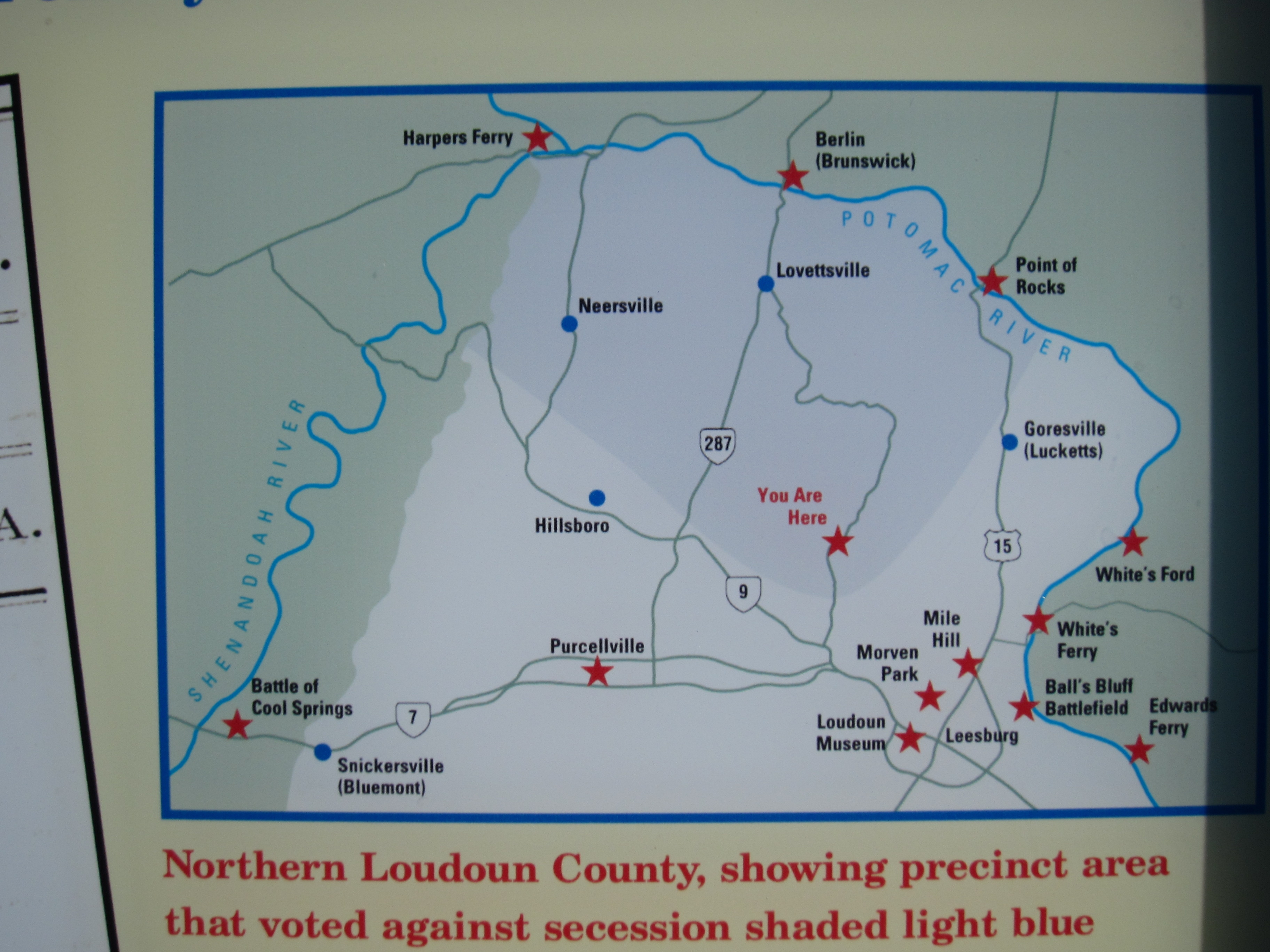
Northern Loudoun Map | Additional Description: Northern Loudoun County, showing precinct area that voted against secession shaded light blue. Stars and blue points indicate other Civil War sites in the area.
Submitted: May 21, 2011, by Craig Swain of Leesburg, Virginia.
Database Locator Identification Number: p154113
File Size: 1.756 Megabytes
To see the metadata that may be embedded in this photo, sign in and then return to this page.