Photograph as originally submitted to
this page in the Historical Marker Database
www.HMdb.org.
Click on photo to resize in browser. Scroll down to see metadata.
Photographer: Karl Stelly
Taken: May 17, 2011
Caption:
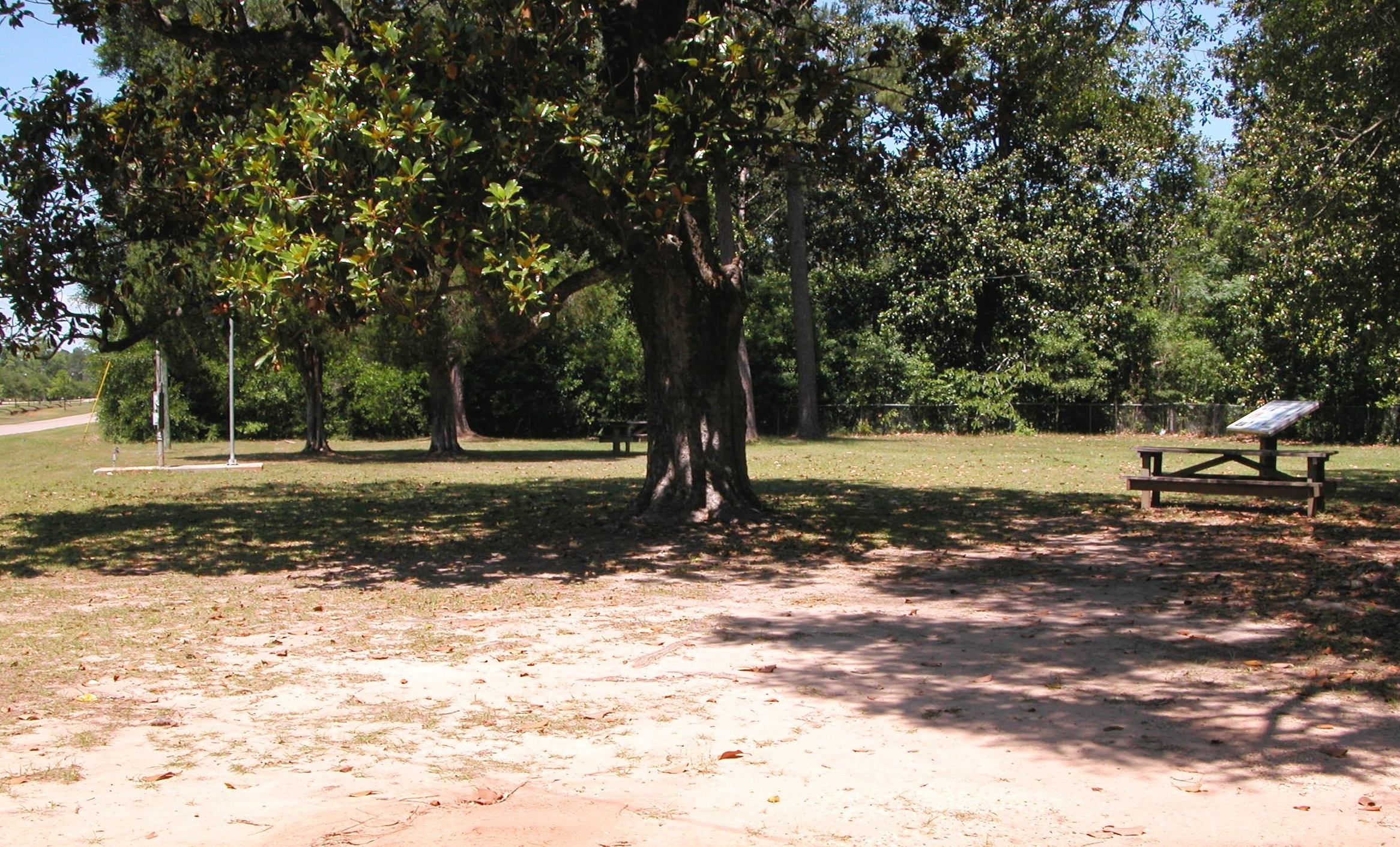
Surrender Site Area | Additional Description: This view shows part of the park area. The marker and flagpole are at the left; Near the right edge of the photo there is a wayside exhibit marker that explains the surrender scenario in more detail.
Submitted: May 31, 2011, by Karl Stelly of Gettysburg, Pennsylvania.
Database Locator Identification Number: p155550
File Size: 0.708 Megabytes
To see the metadata that may be embedded in this photo, sign in and then return to this page.