Photograph as originally submitted to
this page in the Historical Marker Database
www.HMdb.org.
Click on photo to resize in browser. Scroll down to see metadata.
Photographer: Paul Crumlish
Taken: June 4, 2011
Caption:
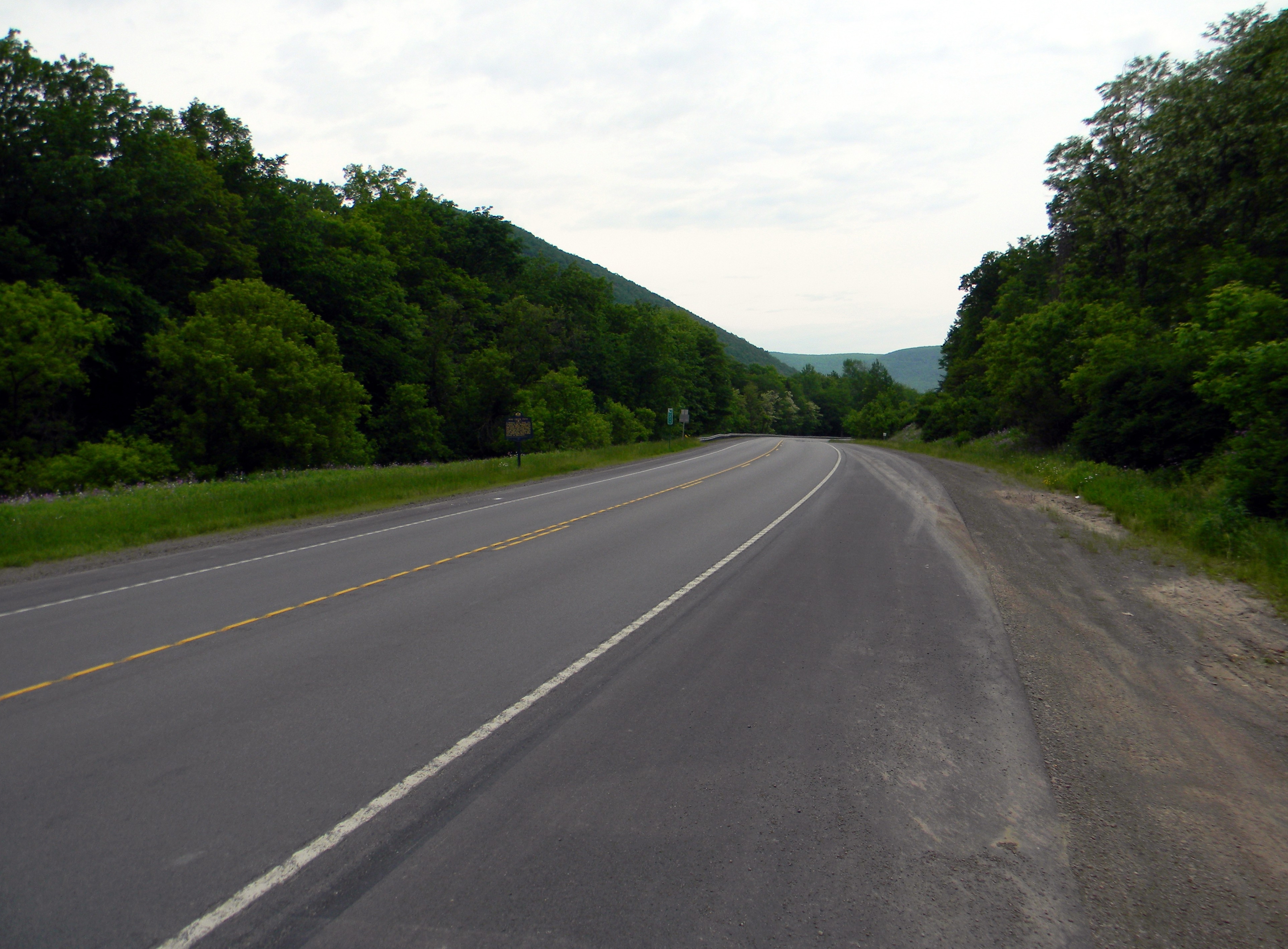
The Fork of the Pine Creek Path | Additional Description: Looking southwest to the head of Pine Creek Gorge where the path emerged from the floor of the 800 foot deep gorge at Ansonia, which was a seasonal hunting ground. The path then headed northwest to the Genesee River.
Submitted: June 7, 2011, by PaulwC3 of Northern, Virginia.
Database Locator Identification Number: p156577
File Size: 5.781 Megabytes
To see the metadata that may be embedded in this photo, sign in and then return to this page.