Photograph as originally submitted to
this page in the Historical Marker Database
www.HMdb.org.
Click on photo to resize in browser. Scroll down to see metadata.
Photographer: Paul Crumlish
Taken: June 5, 2011
Caption:
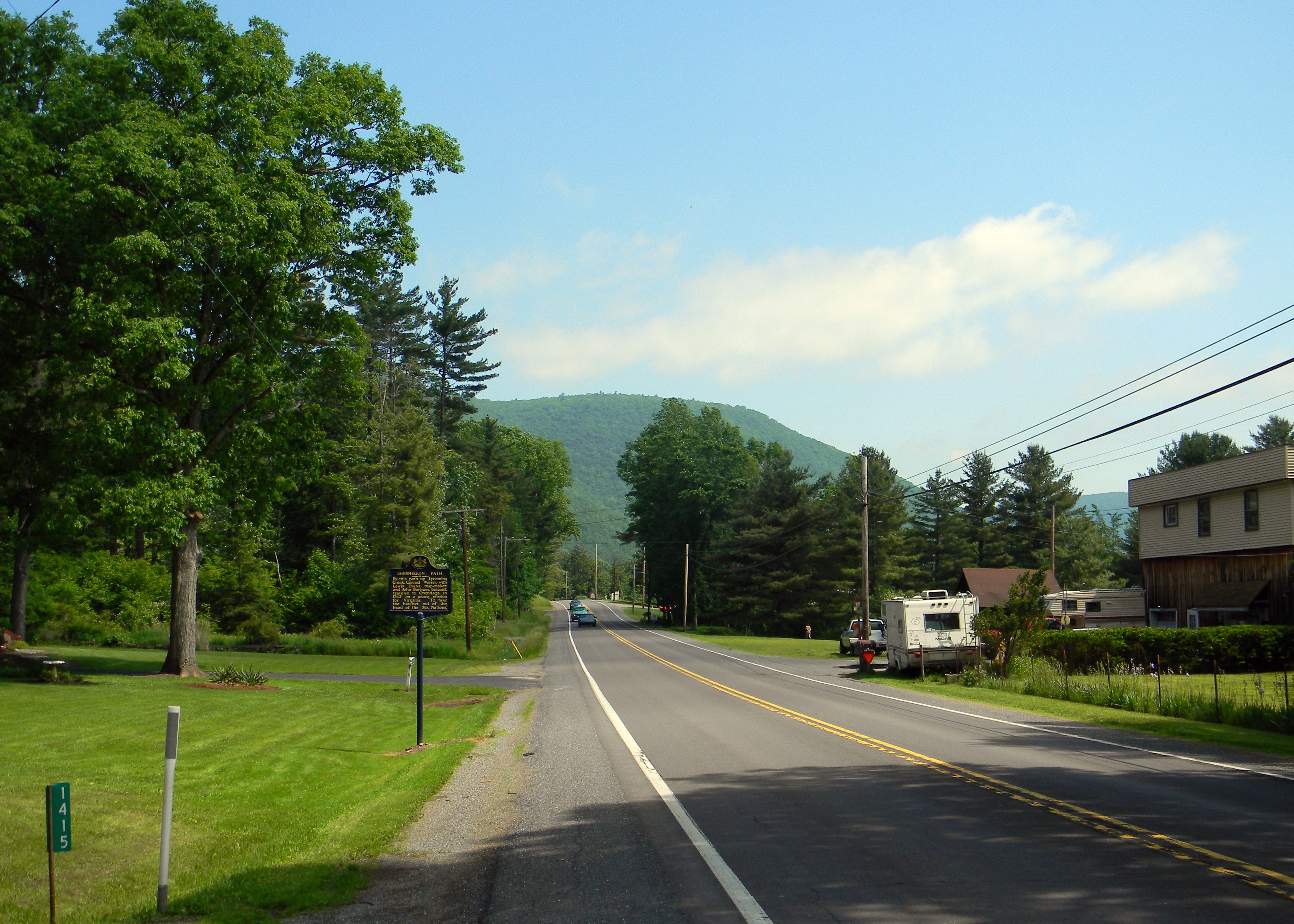
Wide view of the Sheshequin Path Marker | Additional Description: Today State Route 14 follows the route of Sheshequin Path along the west side of the Lycoming Creek.
Submitted: June 19, 2011, by PaulwC3 of Northern, Virginia.
Database Locator Identification Number: p157890
File Size: 7.804 Megabytes
To see the metadata that may be embedded in this photo, sign in and then return to this page.