Photograph as originally submitted to
this page in the Historical Marker Database
www.HMdb.org.
Click on photo to resize in browser. Scroll down to see metadata.
Photographer: Richard E. Miller
Taken: May 24, 2011
Caption:
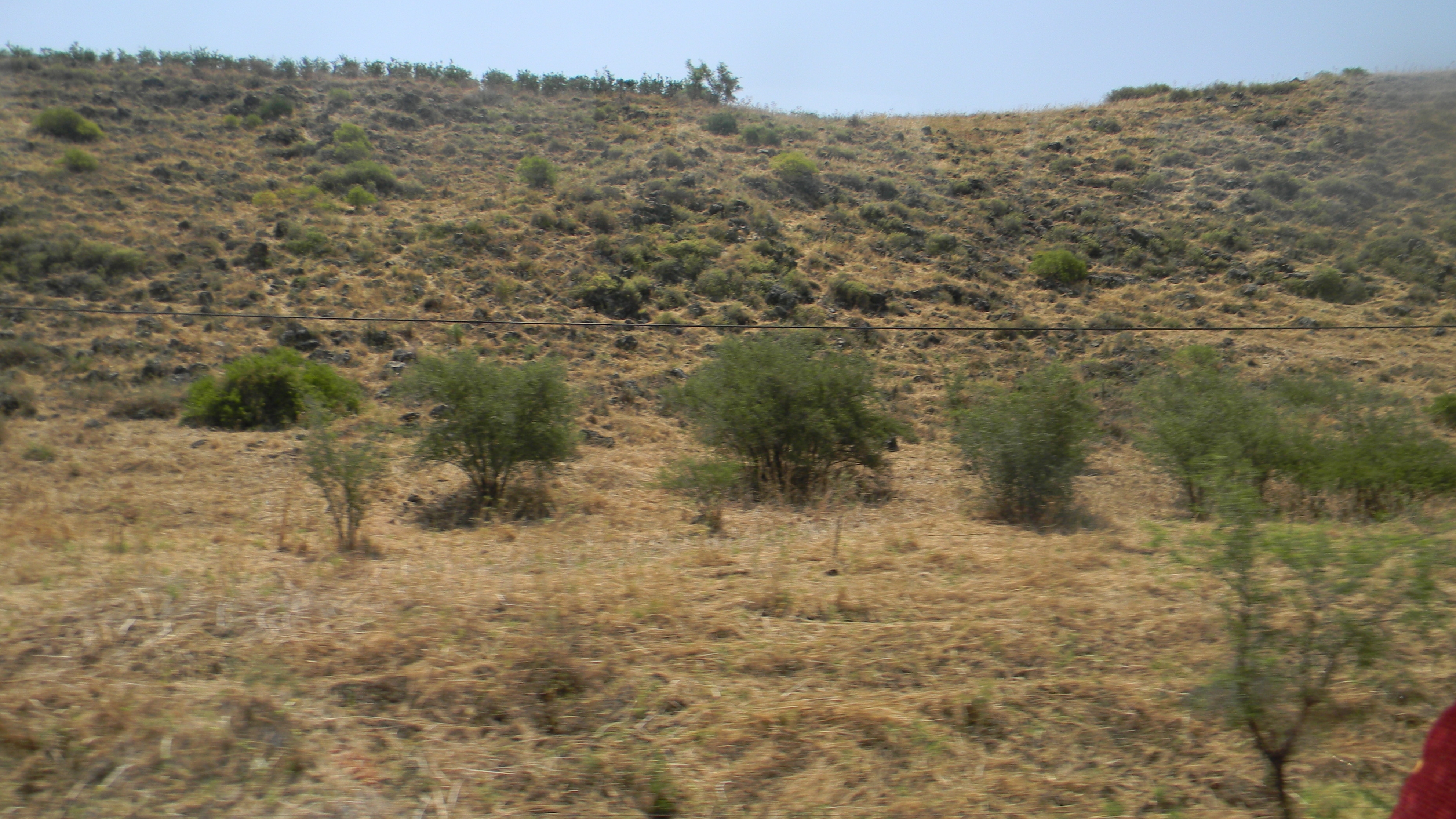
View of the strategic Golan Heights, east of Capharnaum | Additional Description:
- territory seized by Israel from Syria during the conflict of 1967 and presently monitored by United Nations peacekeepers.
Submitted: July 5, 2011, by Richard E. Miller of Oxon Hill, Maryland.
Database Locator Identification Number: p160375
File Size: 2.007 Megabytes
To see the metadata that may be embedded in this photo, sign in and then return to this page.