Photograph as originally submitted to
this page in the Historical Marker Database
www.HMdb.org.
Click on photo to resize in browser. Scroll down to see metadata.
Photographer: Unknown
Taken: undated
Caption:
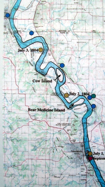
River Map of Lewis and Clark Expedition | Additional Description: On "Bear Medison Island" Marker
Submitted: July 11, 2011, by William Fischer, Jr. of Scranton, Pennsylvania.
Database Locator Identification Number: p161756
File Size: 0.115 Megabytes
To see the metadata that may be embedded in this photo, sign in and then return to this page.