Photograph as originally submitted to
this page in the Historical Marker Database
www.HMdb.org.
Click on photo to resize in browser. Scroll down to see metadata.
Photographer: David Seibert
Taken: July 4, 2011
Caption:
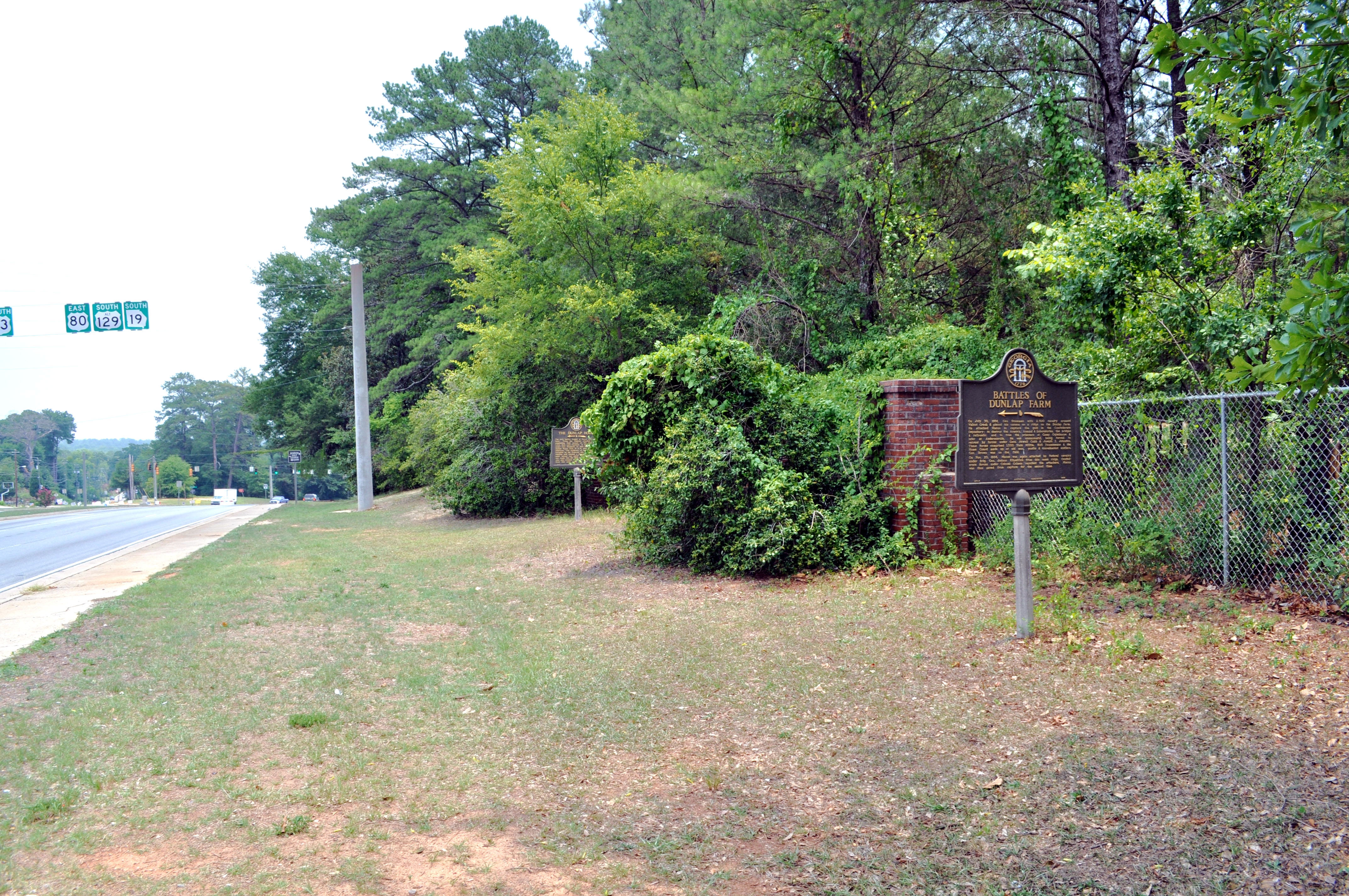
The Dunlap House and Farm Markers at their Previous Location | Additional Description: Looking east on Emery Highway, US 23-80-129, the Battles of Dunlap Farm marker is closest, with the Dunlap House marker in the distance, near the entrance to the Ocmulgee National Monument. Both markers have been relocated to inside the park (turn right at the light and go 2/10th of a mile to find them).
Submitted: July 13, 2011, by David Seibert of Sandy Springs, Georgia.
Database Locator Identification Number: p162078
File Size: 3.067 Megabytes
To see the metadata that may be embedded in this photo, sign in and then return to this page.