Photograph as originally submitted to
this page in the Historical Marker Database
www.HMdb.org.
Click on photo to resize in browser. Scroll down to see metadata.
Photographer: Google Maps
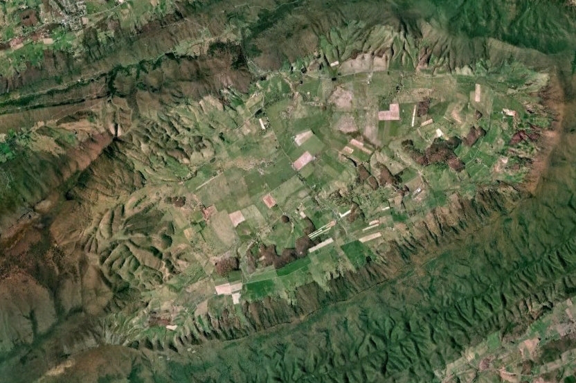
Caption:
Satellite View of Burke’s Garden | Additional Description: The gap in Garden Mountain is visible to the left of center at the top of the image, with Rich Mountain blocking the way. It's been called “God’s Thumbprint,” a resemblance more evident on a topological maps.
Submitted: July 17, 2011, by J. J. Prats of Powell, Ohio.
Database Locator Identification Number: p162355
File Size: 0.160 Megabytes
To see the metadata that may be embedded in this photo, sign in and then return to this page.