Photograph as originally submitted to
this page in the Historical Marker Database
www.HMdb.org.
Click on photo to resize in browser. Scroll down to see metadata.
Photographer: Craig Swain
Taken: August 5, 2007
Caption:
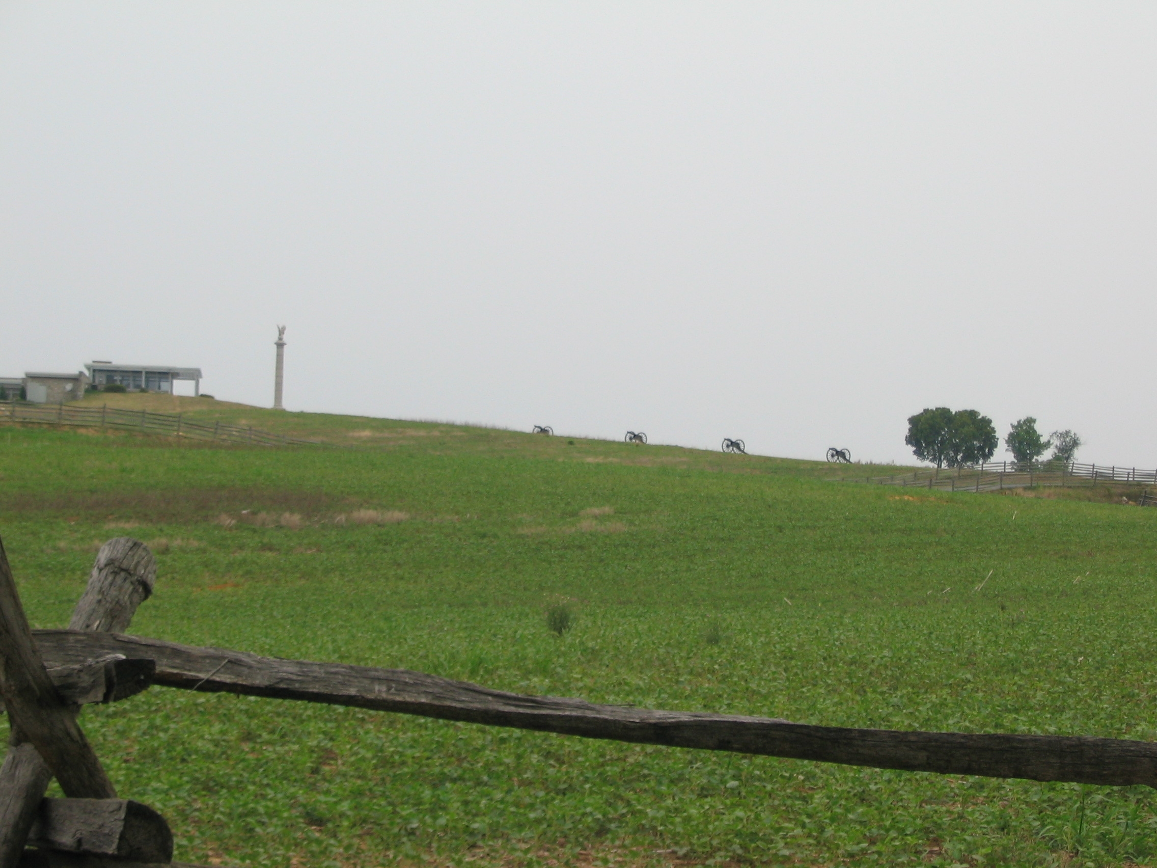
1st Delaware Position | Additional Description: Initially the Regiment advanced down on the Sunken Road from the north (directly toward the camera). Their left flank was generally at the right edge of the photo here. The regiment's right flank was anchored on the Mumma's Farm Lane (distant left of photo) After pressing the Confederates holding the Sunken Road (modern day Richardson Avenue at this section), the 1st Delaware fell back to a slight spur to the north (about 120 yards based on pace counts). The depression formed by the spur is seen here where the Mummas Lane boundary fence drops out of sight in the center of the photo. In the distance is the park visitors center and the spire of the New York State monument.
The cannon on the distant ridge line represent the 1st Rhode Island Light Artillery, Battery A (Thompkins' Battery) which moved up to fire on the Confederates. The battery expended over 1,000 rounds of ammunition during the battle.
Submitted: February 18, 2008, by Craig Swain of Leesburg, Virginia.
Database Locator Identification Number: p16329
File Size: 0.783 Megabytes
To see the metadata that may be embedded in this photo, sign in and then return to this page.