Photograph as originally submitted to
this page in the Historical Marker Database
www.HMdb.org.
Click on photo to resize in browser. Scroll down to see metadata.
Photographer: Dale K. Benington
Taken: July 14, 2011
Caption:
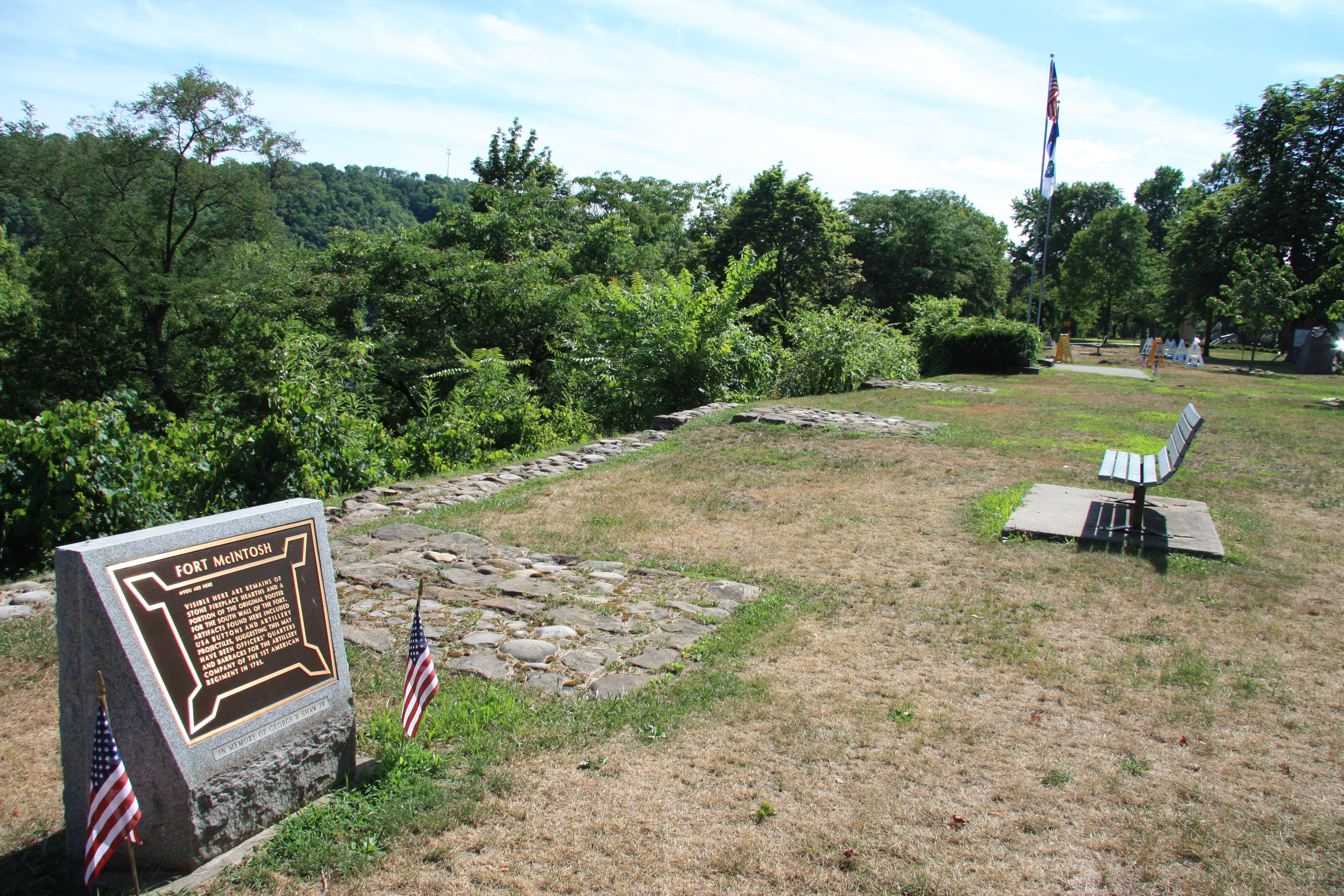
Fort McIntosh Marker | Additional Description: View of the historical marker looking southwest along the crest of the Ohio River bank where the line of stones marks the location where the fort's southern wall was once located.
Submitted: July 22, 2011, by Dale K. Benington of Toledo, Ohio.
Database Locator Identification Number: p163391
File Size: 7.923 Megabytes
To see the metadata that may be embedded in this photo, sign in and then return to this page.