Photograph as originally submitted to
this page in the Historical Marker Database
www.HMdb.org.
Click on photo to resize in browser. Scroll down to see metadata.
Photographer: Craig Swain
Taken: August 5, 2007
Caption:
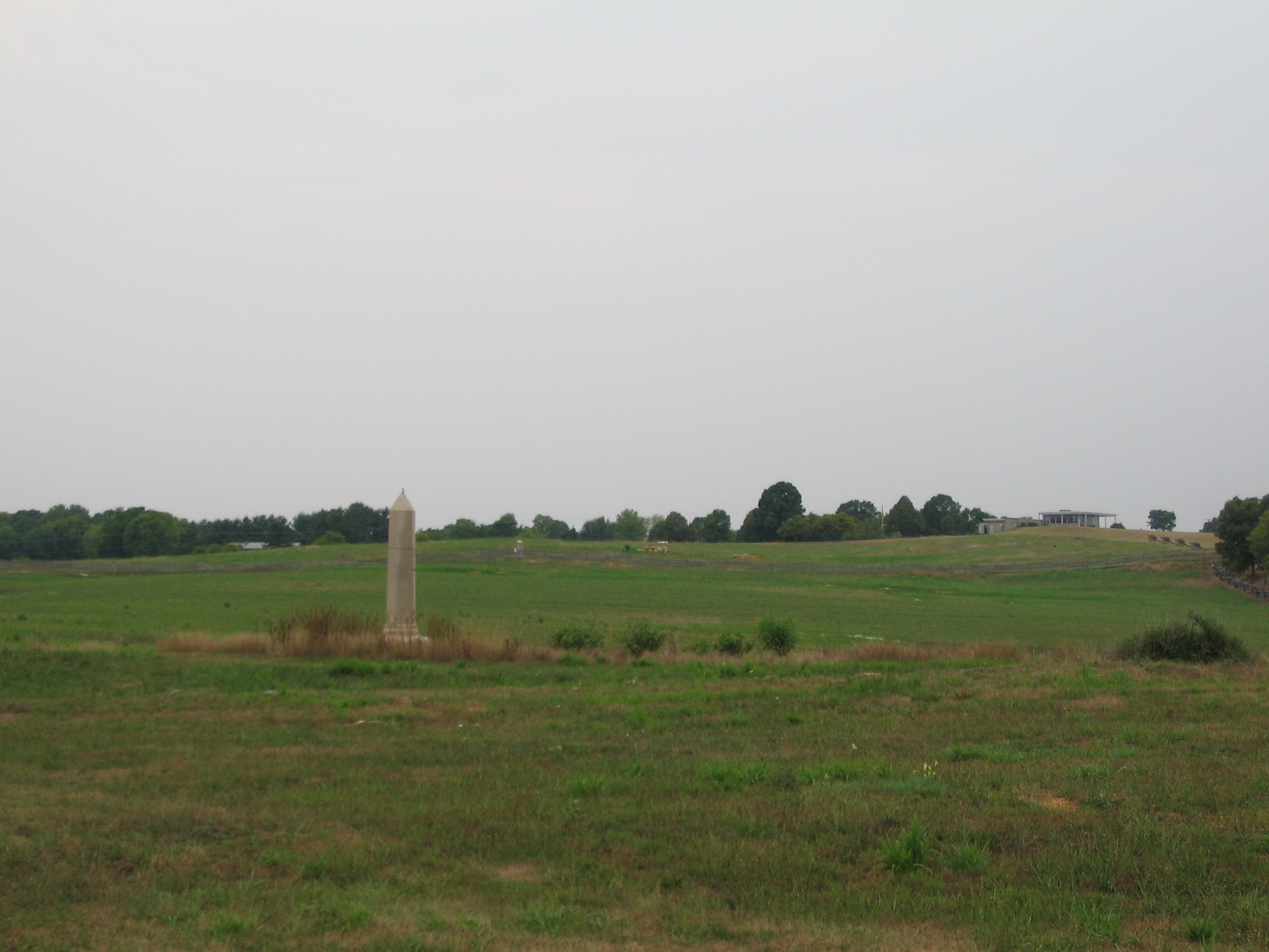
Limit of Federal Advance on the North Side of the Sunken Lane | Additional Description: Looking from the 5th Maryland, Co. A & I monument toward the 14th Connecticut Monument (obelisk in the center). Just to the right of the 14th's monument, in the distance on the Mummas Lane stands the Vermont Brigade Monument. These monuments indicate the furthest advance of their respective units. Behind the line, to the right just below the Visitors Center, a line of artillery pieces marks the point where guns from the 1st Rhode Island, Battery A supported the Federal attacks.
Submitted: February 18, 2008, by Craig Swain of Leesburg, Virginia.
Database Locator Identification Number: p16344
File Size: 0.699 Megabytes
To see the metadata that may be embedded in this photo, sign in and then return to this page.