Photograph as originally submitted to
this page in the Historical Marker Database
www.HMdb.org.
Click on photo to resize in browser. Scroll down to see metadata.
Photographer: Craig Swain
Taken: September 17, 2007
Caption:
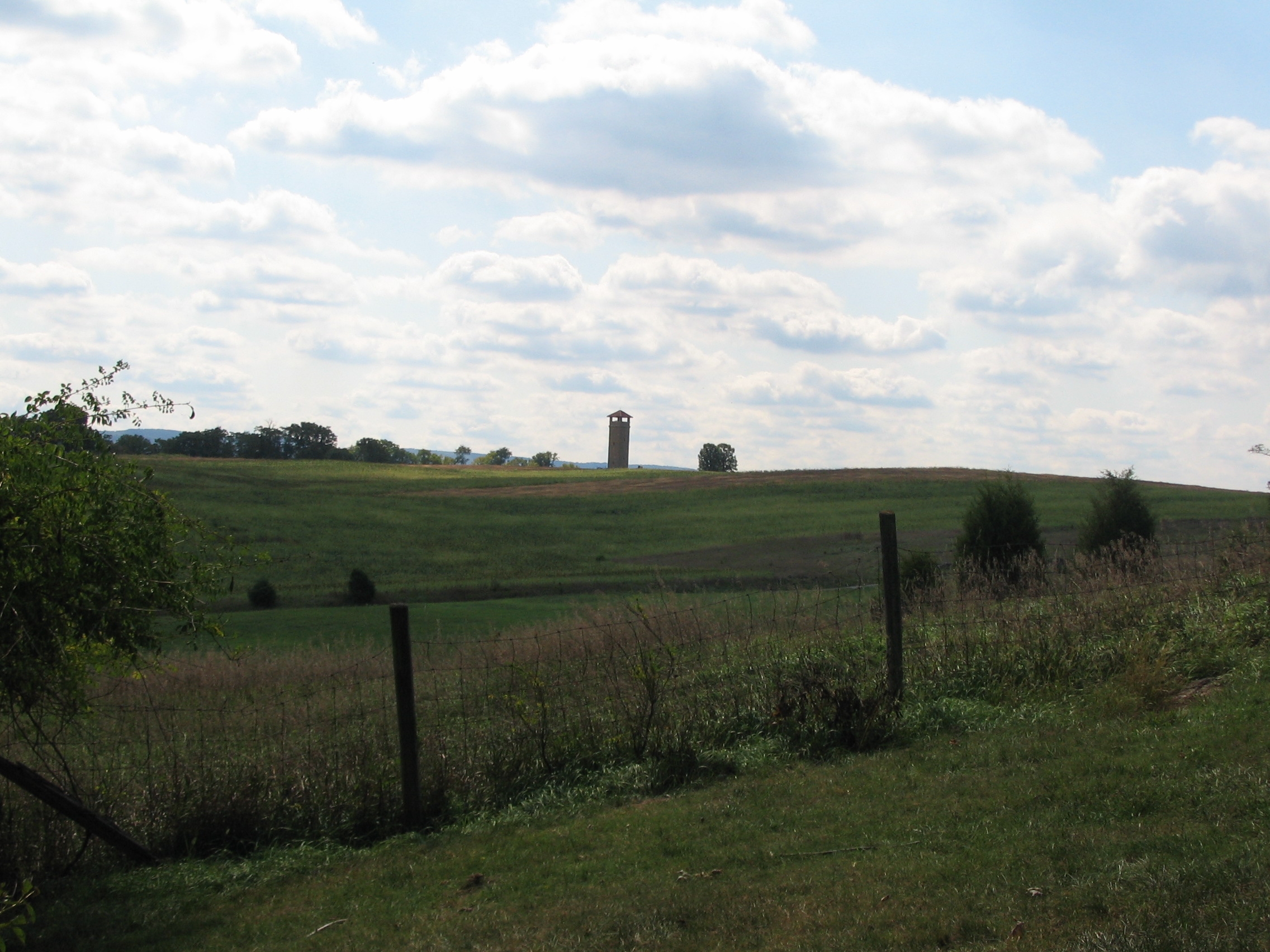
Richardson's Division Line of March | Additional Description: Looking south from the Roulette Farm, the observation tower is a reference point indicating the location of the Sunken Road. The division actually swung out to the east to hit the Confederate lines just to the left of, but slightly overlapping the left flank of French's Division.
Submitted: February 18, 2008, by Craig Swain of Leesburg, Virginia.
Database Locator Identification Number: p16384
File Size: 0.874 Megabytes
To see the metadata that may be embedded in this photo, sign in and then return to this page.