Photograph as originally submitted to
this page in the Historical Marker Database
www.HMdb.org.
Click on photo to resize in browser. Scroll down to see metadata.
Photographer: Christopher Busta-Peck
Taken: September 23, 2007
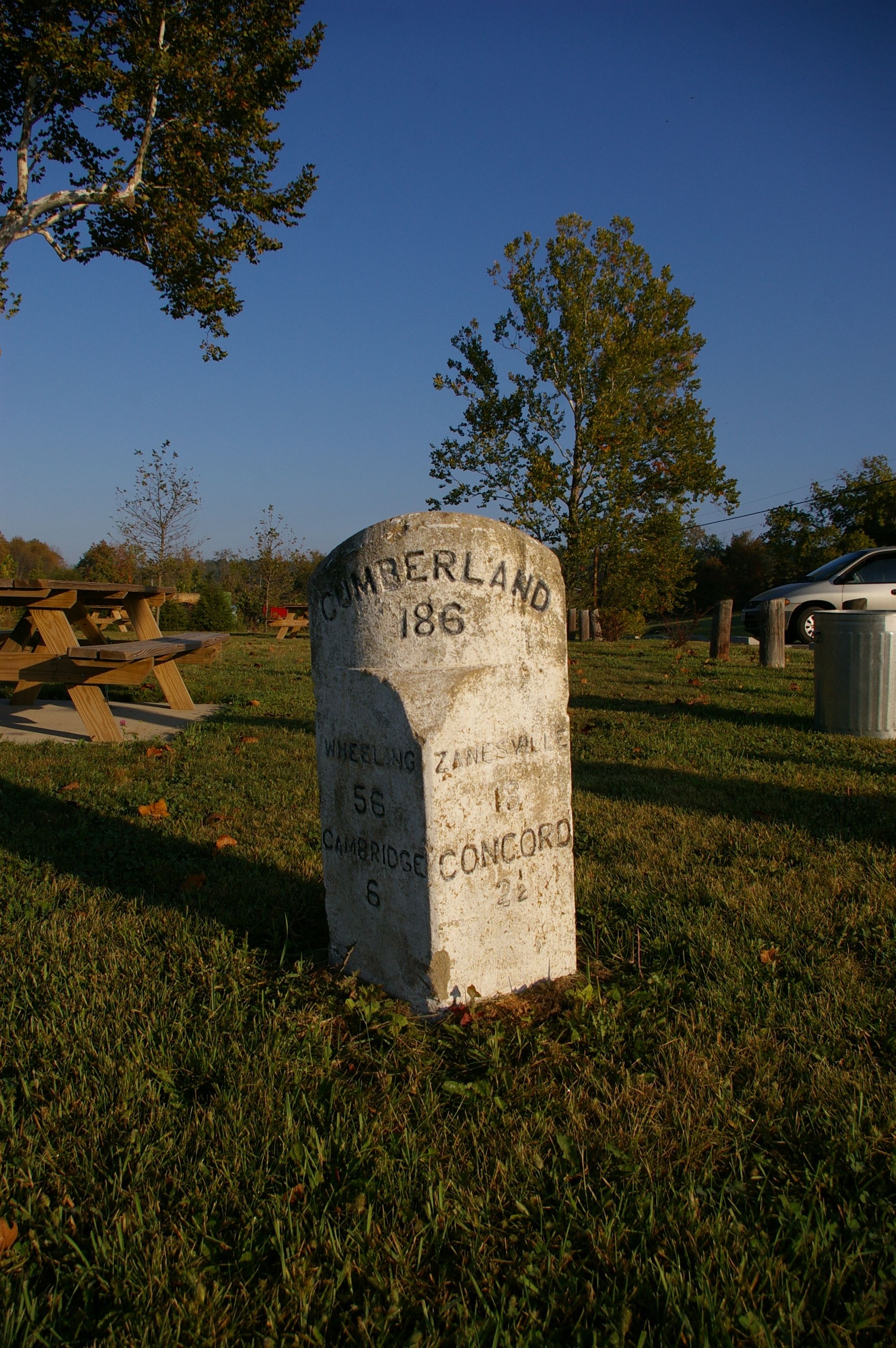
Caption:
National Road milestone, immediately east of the bridge | Additional Description: The milestone indicates that it is 186 miles to Cumberland, Maryland. Traveling west, is is 18 miles to Zanesville and 2 1/2 miles to Concord. Traveling east, it is 56 miles to Wheeling and 6 miles to Cambridge.
Submitted: February 19, 2008, by Christopher Busta-Peck of Shaker Heights, Ohio.
Database Locator Identification Number: p16441
File Size: 3.718 Megabytes
To see the metadata that may be embedded in this photo, sign in and then return to this page.