Photograph as originally submitted to
this page in the Historical Marker Database
www.HMdb.org.
Click on photo to resize in browser. Scroll down to see metadata.
Photographer: Craig Swain
Taken: December 30, 2006
Caption:
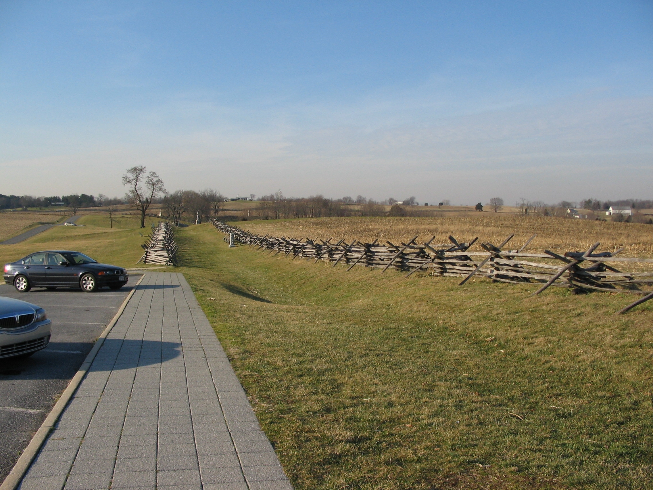
East End of Sunken Road | Additional Description: This point formed the right flank of Hill's Division during the fighting at the Sunken Road.
Submitted: February 22, 2008, by Craig Swain of Leesburg, Virginia.
Database Locator Identification Number: p16642
File Size: 1.275 Megabytes
To see the metadata that may be embedded in this photo, sign in and then return to this page.