Photograph as originally submitted to
this page in the Historical Marker Database
www.HMdb.org.
Click on photo to resize in browser. Scroll down to see metadata.
Photographer: TRCP Alliance
Taken: June 16, 2011
Caption:
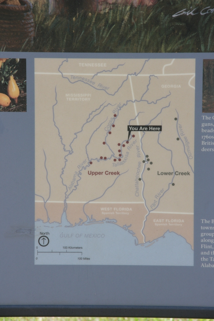
Map of The Creek Nation | Additional Description: The British divided Creek towns into two geographic groups: the Lower Towns along the Chattahoochee, Flint, and Ocmulgee Rivers; and the Upper Towns along the Tallapoosa, Coosa, and Alabama Rivers.
Submitted: August 19, 2011, by Timothy Carr of Birmingham, Alabama.
Database Locator Identification Number: p168278
File Size: 0.263 Megabytes
To see the metadata that may be embedded in this photo, sign in and then return to this page.