Photograph as originally submitted to
this page in the Historical Marker Database
www.HMdb.org.
Click on photo to resize in browser. Scroll down to see metadata.
Photographer: Craig Swain
Taken: August 1, 2011
Caption:
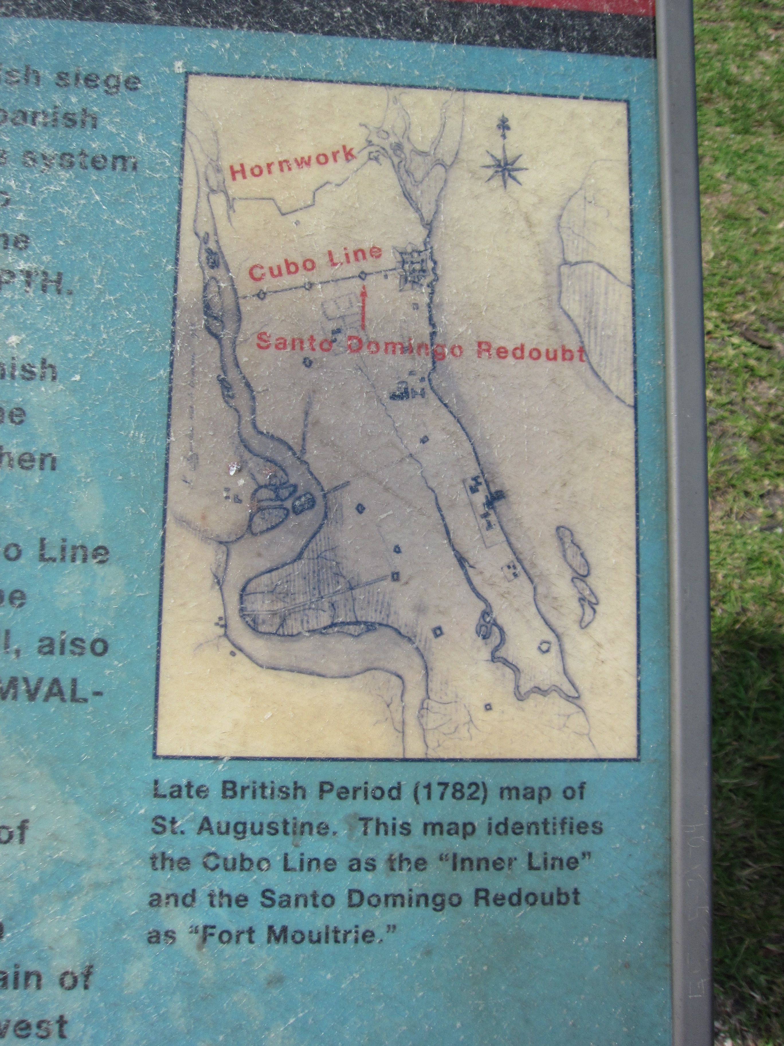
British Map | Additional Description:
Late British Period (1782) map of St. Augustine. This map identifies the Cubo Line as the "Inner Line" and the Santo Domingo Redoubt as "Fort Moultrie."Submitted: August 27, 2011, by Craig Swain of Leesburg, Virginia.
Database Locator Identification Number: p169587
File Size: 2.537 Megabytes
To see the metadata that may be embedded in this photo, sign in and then return to this page.