Photograph as originally submitted to
this page in the Historical Marker Database
www.HMdb.org.
Click on photo to resize in browser. Scroll down to see metadata.
Photographer: Craig Swain
Taken: August 1, 2011
Caption:
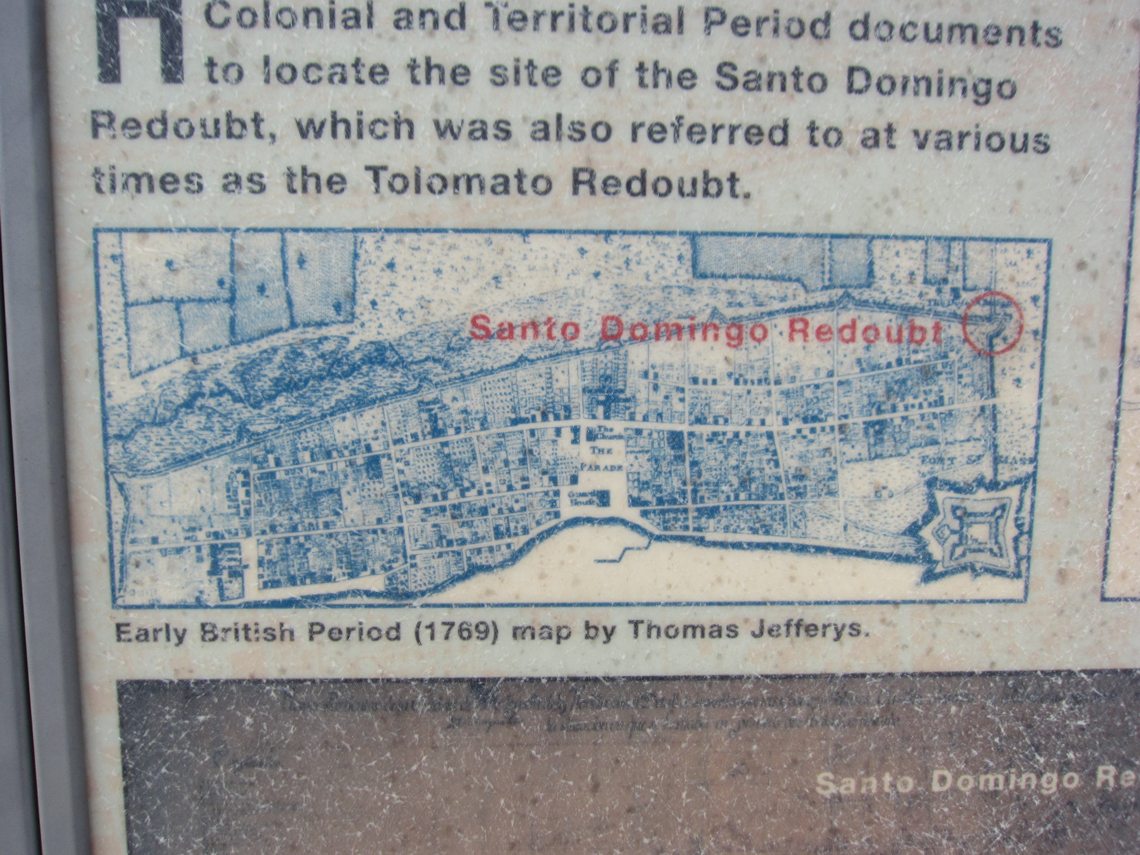
British Map of St. Augustine | Additional Description:
Early British Period (1769) map by Thomas Jefferys. A
Second Spanish Period (1789) map by Mariano de la Rocque is below the British map, but is faded.
Submitted: August 27, 2011, by Craig Swain of Leesburg, Virginia.
Database Locator Identification Number: p169597
File Size: 2.620 Megabytes
To see the metadata that may be embedded in this photo, sign in and then return to this page.