Photograph as originally submitted to
this page in the Historical Marker Database
www.HMdb.org.
Click on photo to resize in browser. Scroll down to see metadata.
Photographer: Dale K. Benington
Taken: June 23, 2011
Caption:
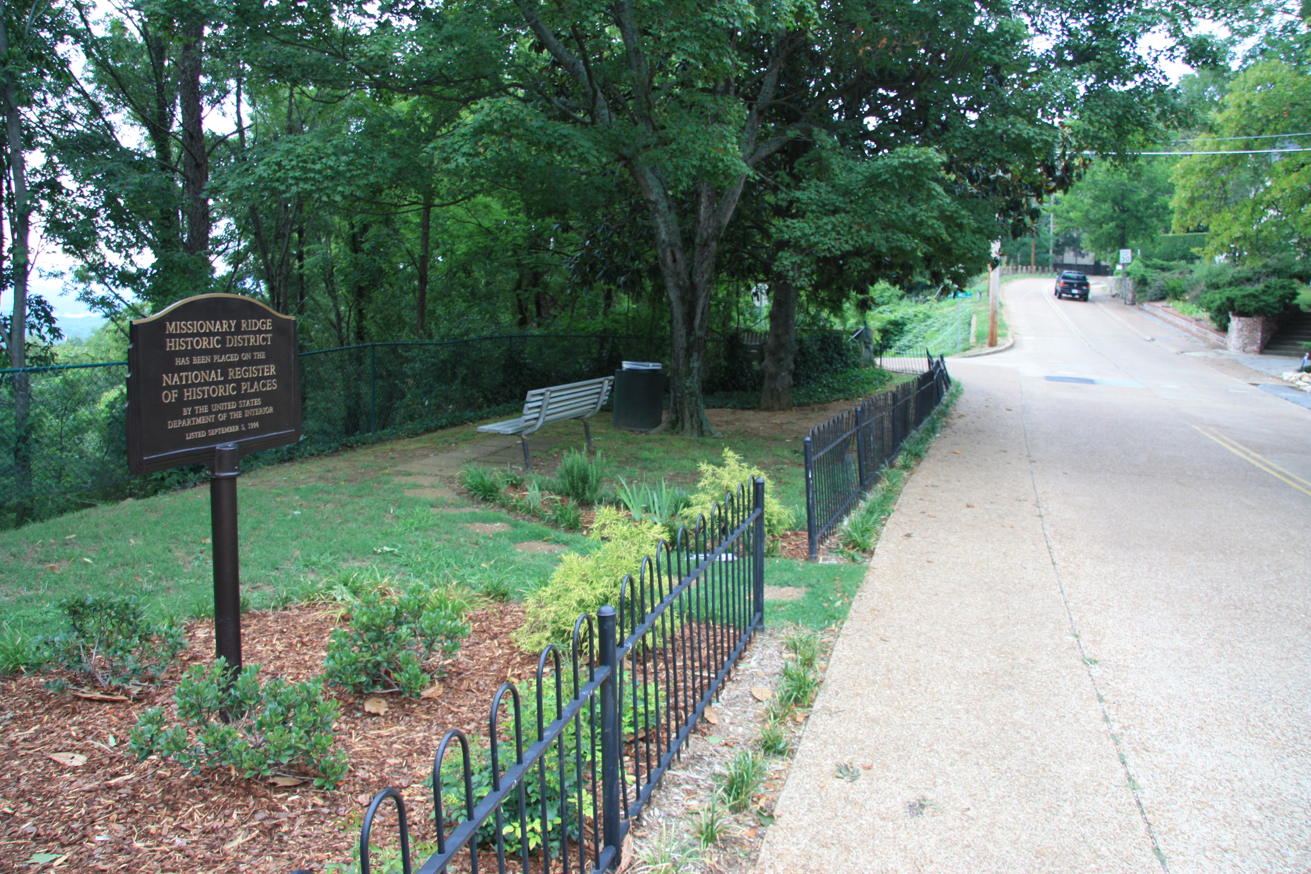
Missionary Ridge Historic District Marker | Additional Description: View of historical marker looking north along South Crest Road, with a view of the intersection with Bird's Mill Road in the background.
Submitted: August 28, 2011, by Dale K. Benington of Toledo, Ohio.
Database Locator Identification Number: p169671
File Size: 6.630 Megabytes
To see the metadata that may be embedded in this photo, sign in and then return to this page.