Photograph as originally submitted to
this page in the Historical Marker Database
www.HMdb.org.
Click on photo to resize in browser. Scroll down to see metadata.
Photographer: Craig Swain
Taken: February 9, 2008
Caption:
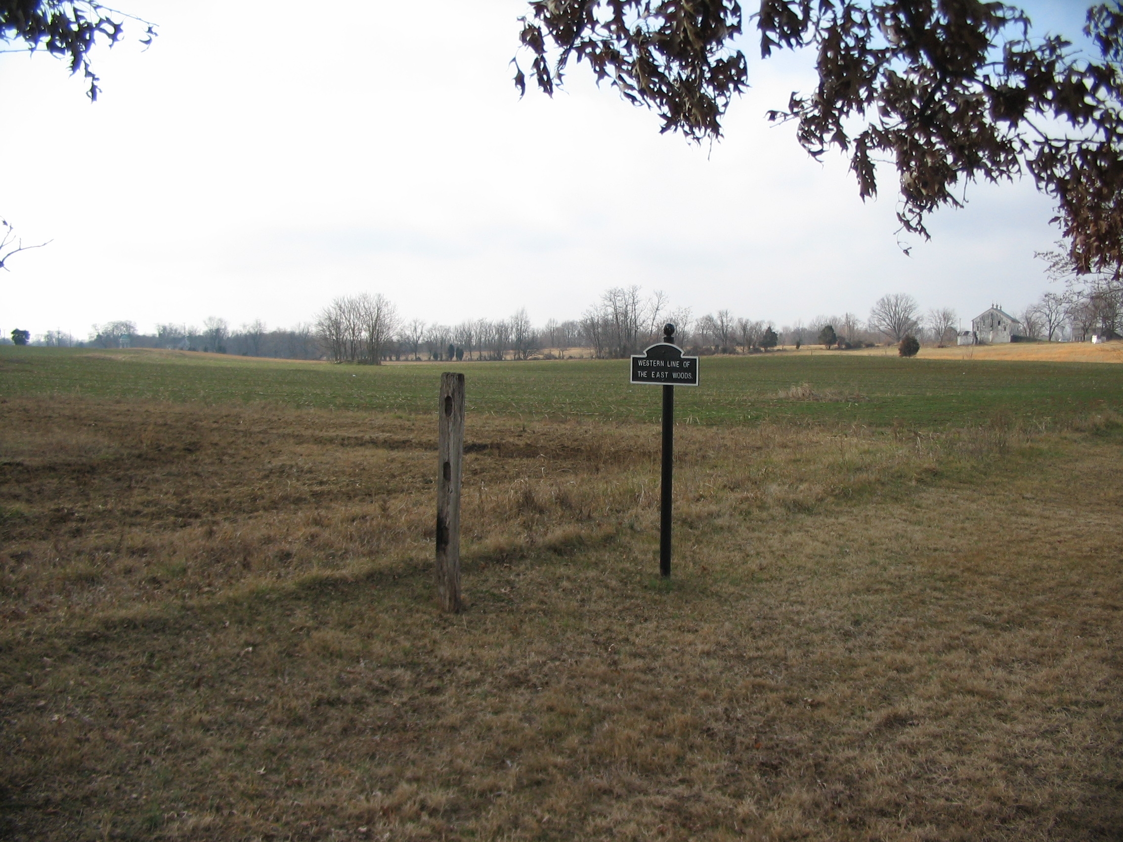
Colquitt's Brigade Advance and Later Retreat | Additional Description: Looking from the marker location back toward the Hagerstown Pike. The sign indicates the western edge of the East Woods. Initially posted on the Sunken Road, the Brigade moved up by way of the Mumma's Farm Lane to the edge of the East Woods. Advancing from a point on the Smoketown Road, the Brigade then attacked through the foreground here and drove sections of Ricketts' Division back into the East Woods, out of the cornfield. With the advance of XII Corps from the east, Colquitt's Brigade fell back through the low ground in the distance toward the Dunker Church.
Submitted: February 26, 2008, by Craig Swain of Leesburg, Virginia.
Database Locator Identification Number: p17085
File Size: 1.075 Megabytes
To see the metadata that may be embedded in this photo, sign in and then return to this page.