Photograph as originally submitted to
this page in the Historical Marker Database
www.HMdb.org.
Click on photo to resize in browser. Scroll down to see metadata.
Photographer: Michael Tiernan
Caption:
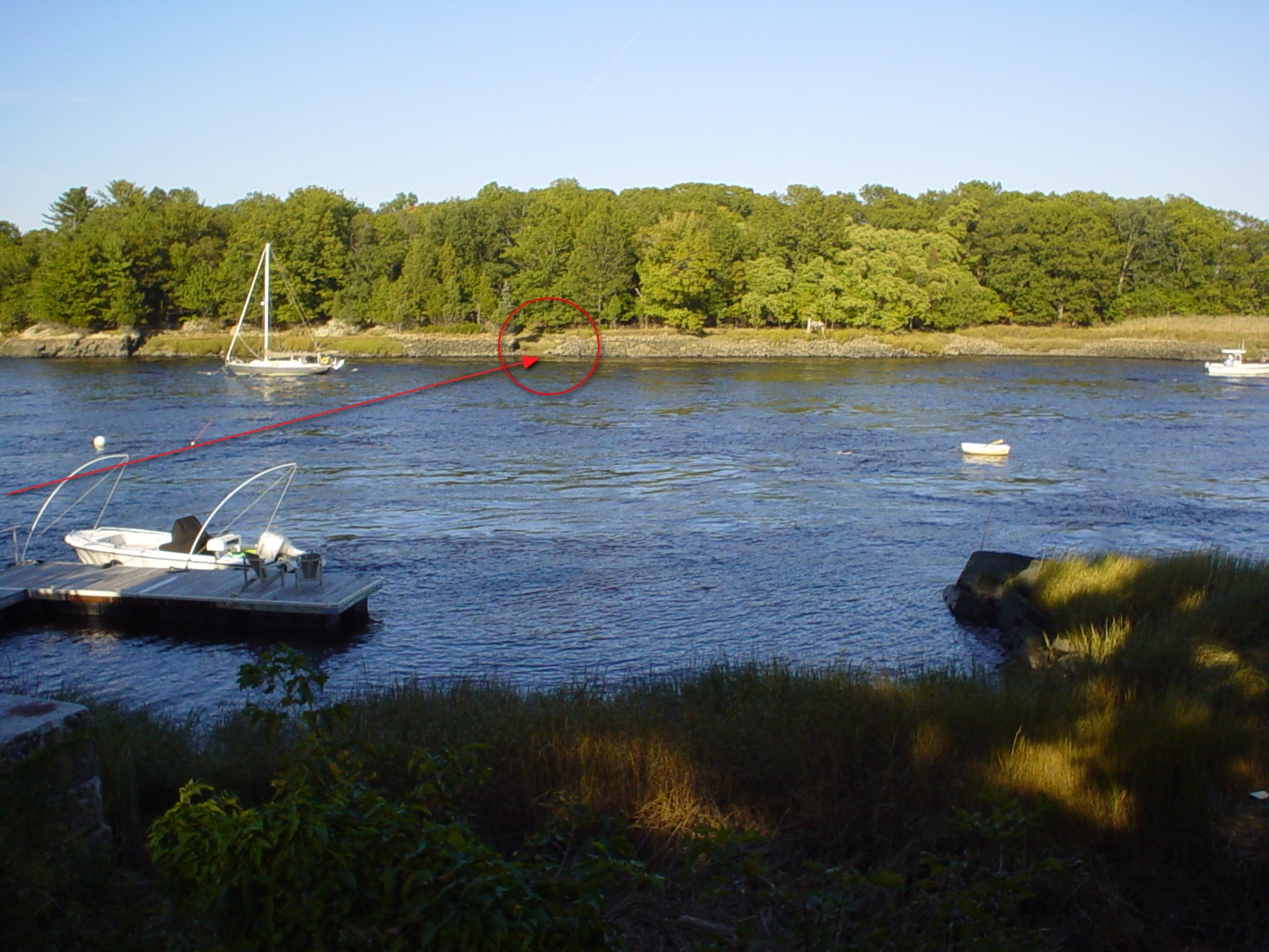
Carr's Ferry | Additional Description: The red arrow shows the approximate path the ferry took to the landing spot on yonder island. The area beyond the end of this street is private property but a friendly neighbor gave me some background on the path the ferry took.
Submitted: October 9, 2011, by Michael Tiernan of Danvers, Massachusetts.
Database Locator Identification Number: p175689
File Size: 1.552 Megabytes
To see the metadata that may be embedded in this photo, sign in and then return to this page.