Photograph as originally submitted to
this page in the Historical Marker Database
www.HMdb.org.
Click on photo to resize in browser. Scroll down to see metadata.
Photographer: Barry Swackhamer
Taken: September 14, 2011
Caption:
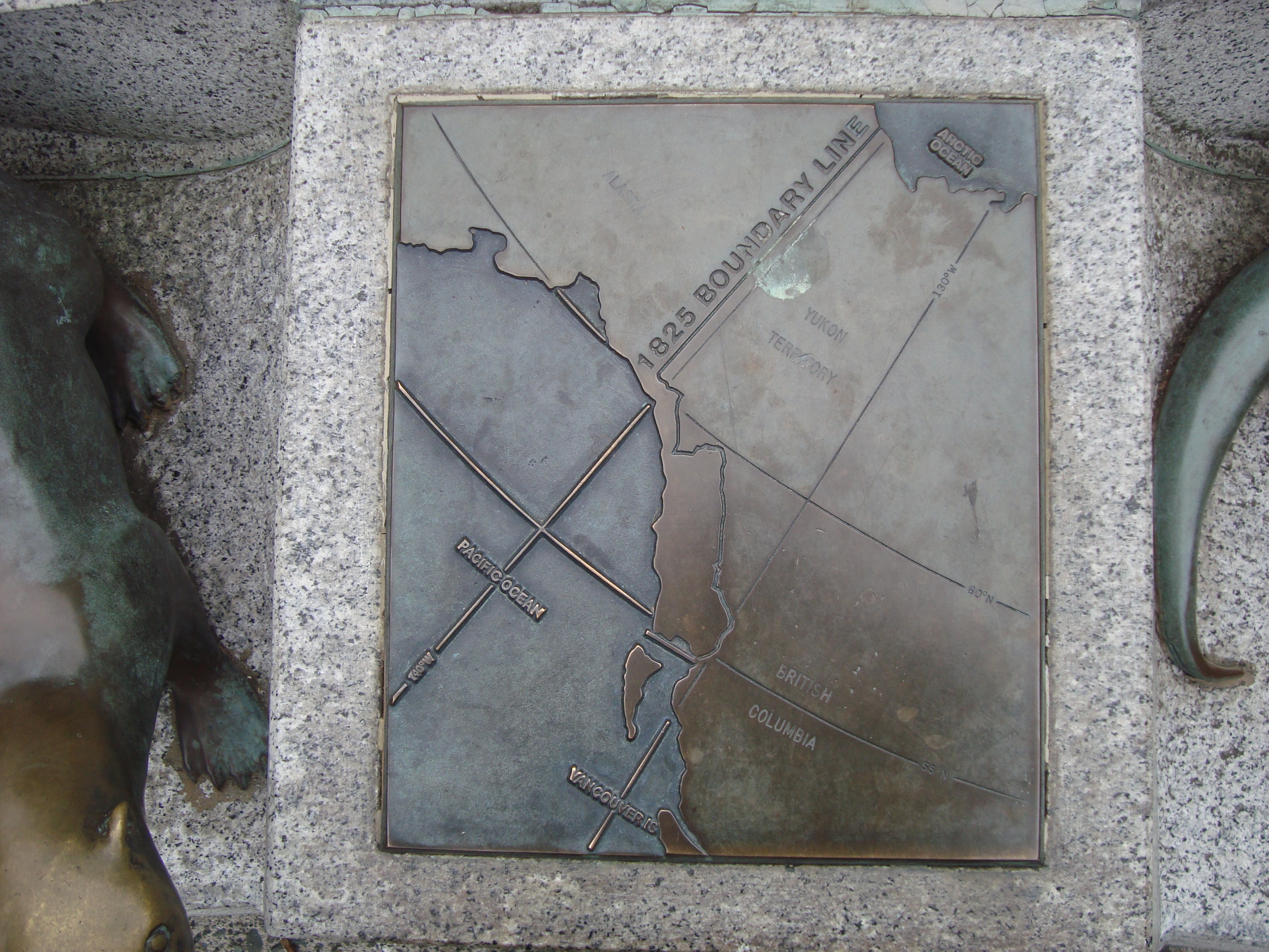
Map of the 1825 Treaty Boundary | Submitted: October 29, 2011, by Barry Swackhamer of Brentwood, California.
Database Locator Identification Number: p178829
File Size: 2.790 Megabytes
To see the metadata that may be embedded in this photo, sign in and then return to this page.