Photograph as originally submitted to
this page in the Historical Marker Database
www.HMdb.org.
Click on photo to resize in browser. Scroll down to see metadata.
Photographer: Craig Swain
Taken: February 16, 2008
Caption:
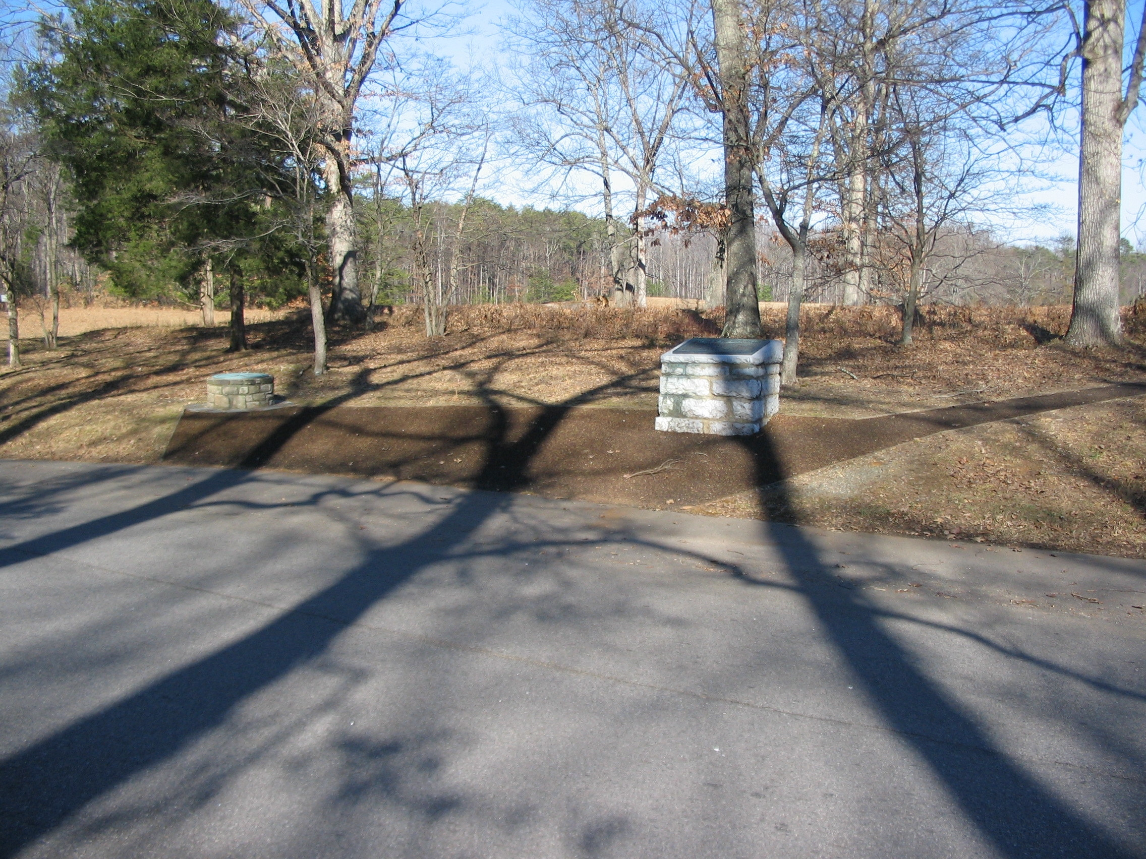
Battle of the Wilderness Marker | Additional Description: The pedestal for the marker is on the right. To the left is a "compass" pointing out the direction and distance to key points on the battlefield. The compass is a feature repeated throughout the Chancellorsville, Wilderness, and Spotsylvania Court House battlefields.
Submitted: March 7, 2008, by Craig Swain of Leesburg, Virginia.
Database Locator Identification Number: p17927
File Size: 1.521 Megabytes
To see the metadata that may be embedded in this photo, sign in and then return to this page.