Photograph as originally submitted to
this page in the Historical Marker Database
www.HMdb.org.
Click on photo to resize in browser. Scroll down to see metadata.
Photographer: David Seibert
Taken: December 11, 2011
Caption:
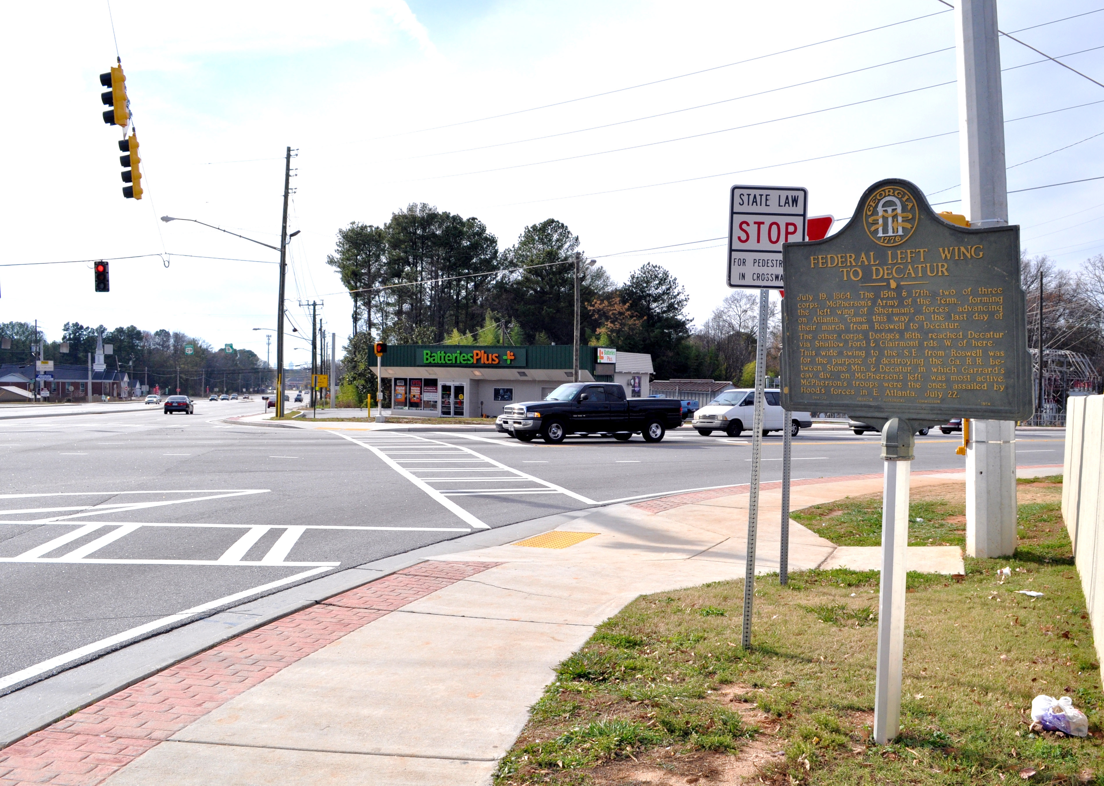
Federal Left Wing to Decatur Marker | Additional Description: Looking west, with Lawrenceville Highway (US 29) on the left and Montreal Road to the right.
Submitted: December 11, 2011, by David Seibert of Sandy Springs, Georgia.
Database Locator Identification Number: p184172
File Size: 1.961 Megabytes
To see the metadata that may be embedded in this photo, sign in and then return to this page.