Photograph as originally submitted to
this page in the Historical Marker Database
www.HMdb.org.
Click on photo to resize in browser. Scroll down to see metadata.
Photographer: Richard E. Miller
Taken: December 10, 2011
Caption:
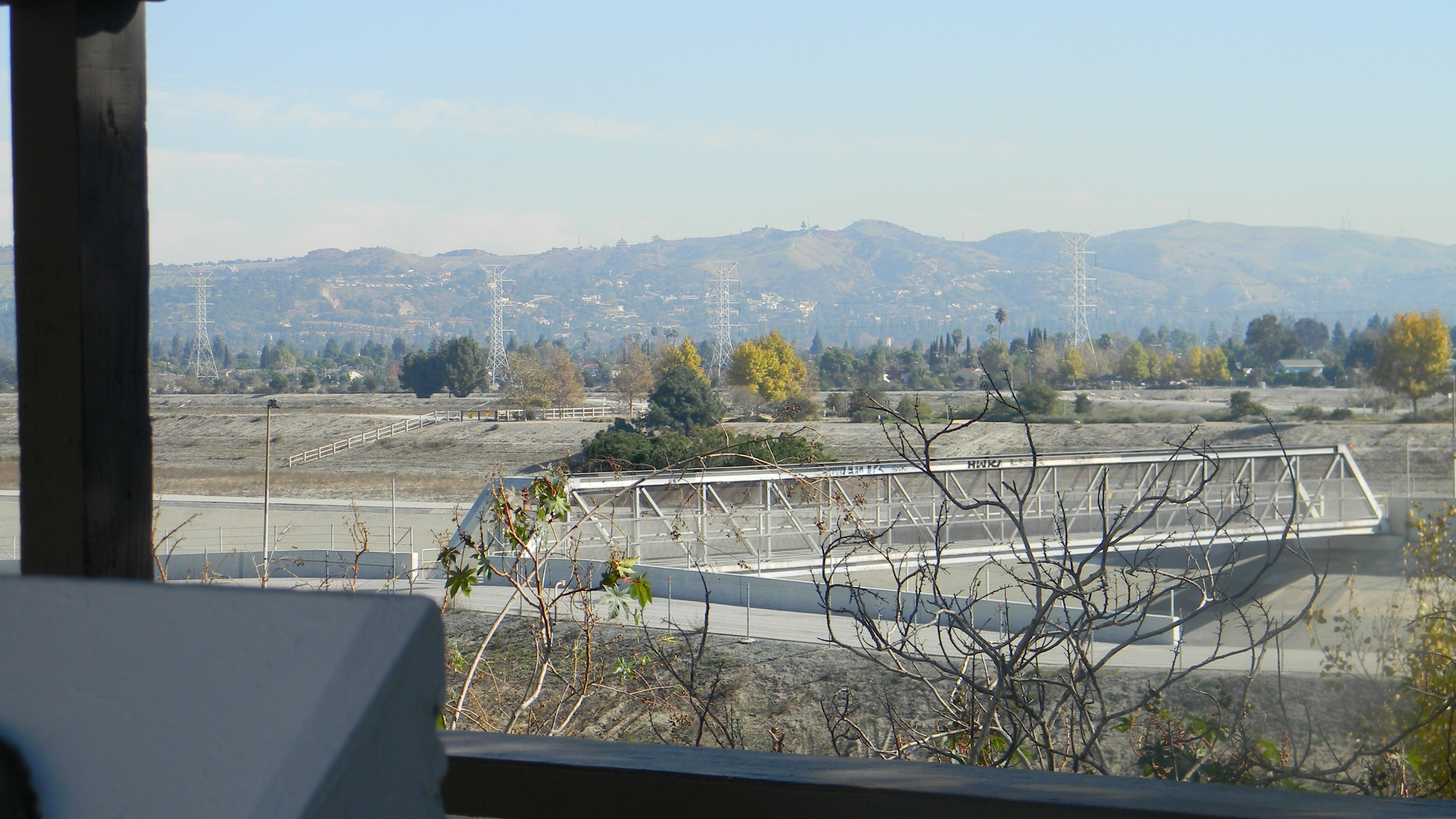
View of the San Gabriel Valley from the Marker site | Additional Description: The Rio Hondo Control Basin Spreading Grounds and Bike Trail are visible below the shelter.
Submitted: December 28, 2011, by Richard E. Miller of Oxon Hill, Maryland.
Database Locator Identification Number: p186737
File Size: 2.007 Megabytes
To see the metadata that may be embedded in this photo, sign in and then return to this page.