Photograph as originally submitted to
this page in the Historical Marker Database
www.HMdb.org.
Click on photo to resize in browser. Scroll down to see metadata.
Photographer: Craig Swain
Taken: September 17, 2007
Caption:
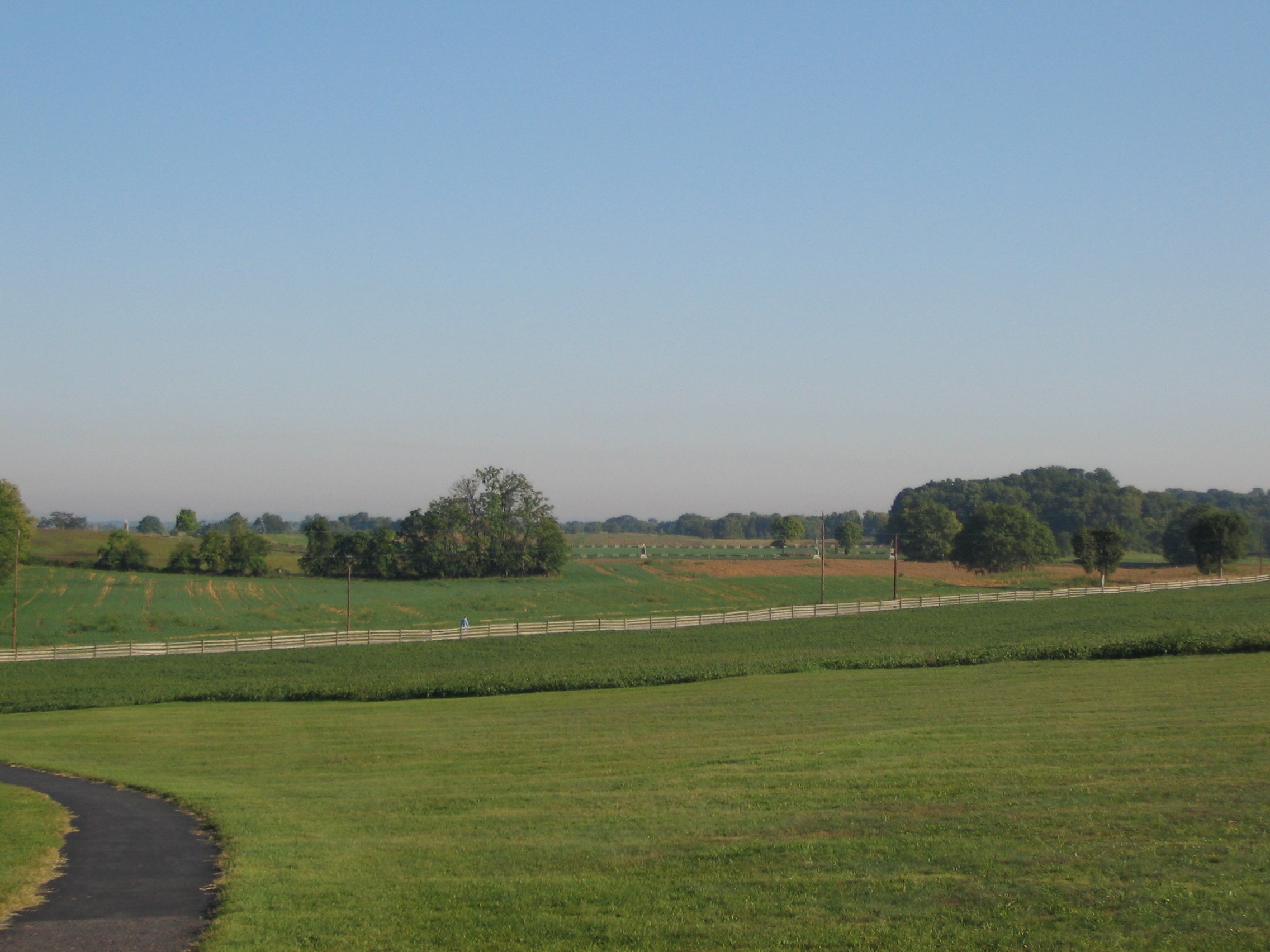
Sedgwick's Advance | Additional Description: Looking from the New York State Monument to the north. The closest rail fence is the Smoketown Road. Beyond that are the fields south of the Cornfield. Cornfield Avenue runs left to right, with the monuments along the route seen in the distance. Sedgwick's Division advanced between the Smoketown Road and the south edge of the Cornfield (approximately the path of the modern Cornfield Avenue).
Submitted: March 17, 2008, by Craig Swain of Leesburg, Virginia.
Database Locator Identification Number: p18891
File Size: 0.830 Megabytes
To see the metadata that may be embedded in this photo, sign in and then return to this page.