Photograph as originally submitted to
this page in the Historical Marker Database
www.HMdb.org.
Click on photo to resize in browser. Scroll down to see metadata.
Photographer: Craig Swain
Taken: February 9, 2008
Caption:
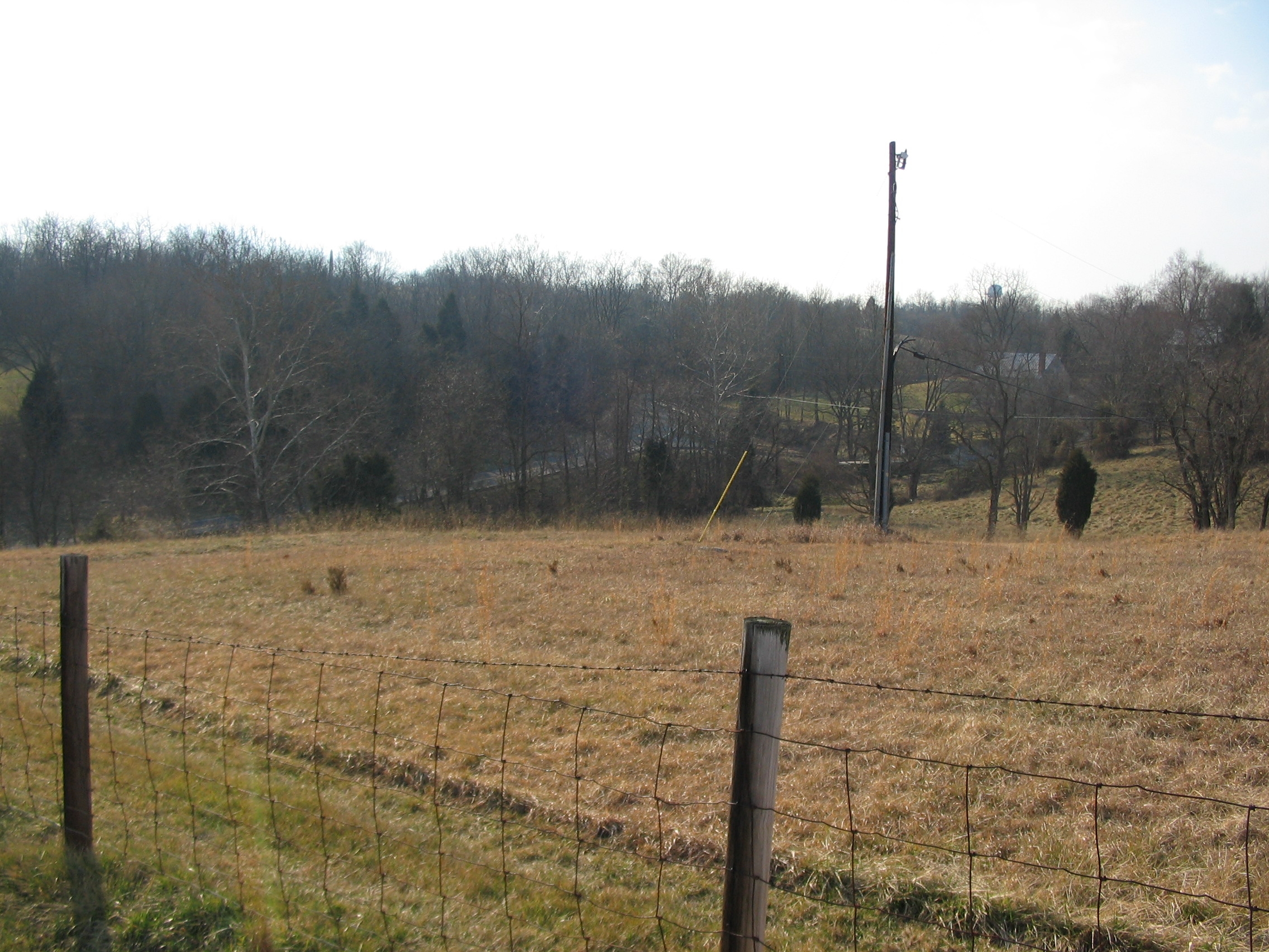
Jenkins' Brigade Advance | Additional Description: Looking east from the tablet location, this draw to the south of Cemetery Hill is drained by a stream leading to Antietam Creek. At the time of the battle, the Magraw and Avey houses stood in the vicinity. A mill stood in the draw here and is referenced on the tablet. Jenkins' Brigade moved down what is today the Burnside Bridge Road and deployed across the west slope eventually reaching about where the utility pole stands today. As the action developed, the Brigade would change facing to the south, fronting the road to deflect Federal advances.
Submitted: March 23, 2008, by Craig Swain of Leesburg, Virginia.
Database Locator Identification Number: p19473
File Size: 1.110 Megabytes
To see the metadata that may be embedded in this photo, sign in and then return to this page.