Photograph as originally submitted to
this page in the Historical Marker Database
www.HMdb.org.
Click on photo to resize in browser. Scroll down to see metadata.
Photographer: Dale K. Benington
Taken: July 29, 2011
Caption:
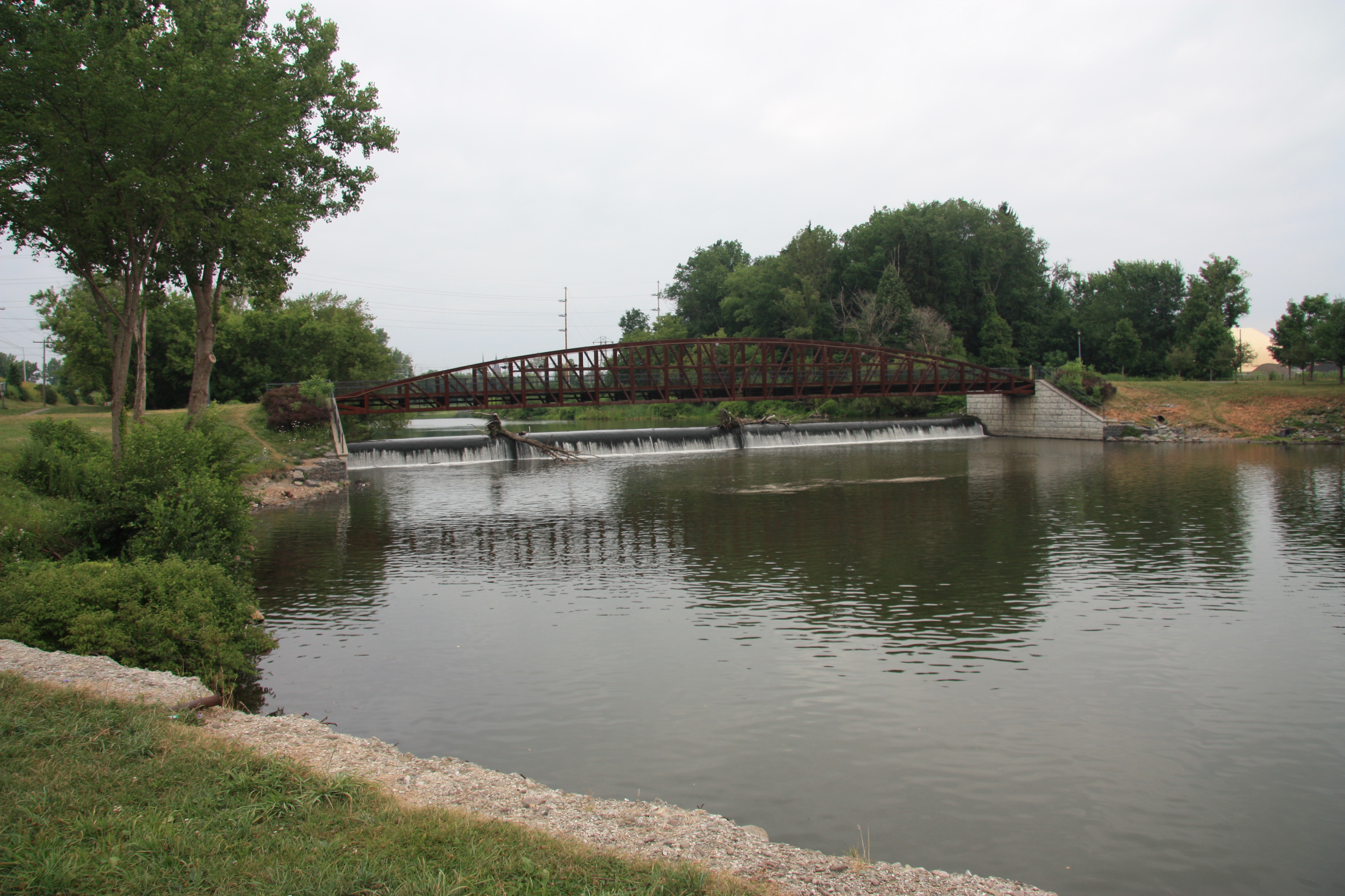
Upper Landing Place Marker | Additional Description: View looking north, upstream on the Mohawk River, from the foot of Canal Street. The "Upper Landing Place" would be beyond the river's dam, in the trees on the left (west) bank of the river.
Submitted: April 6, 2012, by Dale K. Benington of Toledo, Ohio.
Database Locator Identification Number: p198910
File Size: 4.505 Megabytes
To see the metadata that may be embedded in this photo, sign in and then return to this page.