Photograph as originally submitted to
this page in the Historical Marker Database
www.HMdb.org.
Click on photo to resize in browser. Scroll down to see metadata.
Photographer: Dale K. Benington
Taken: April 12, 2012
Caption:
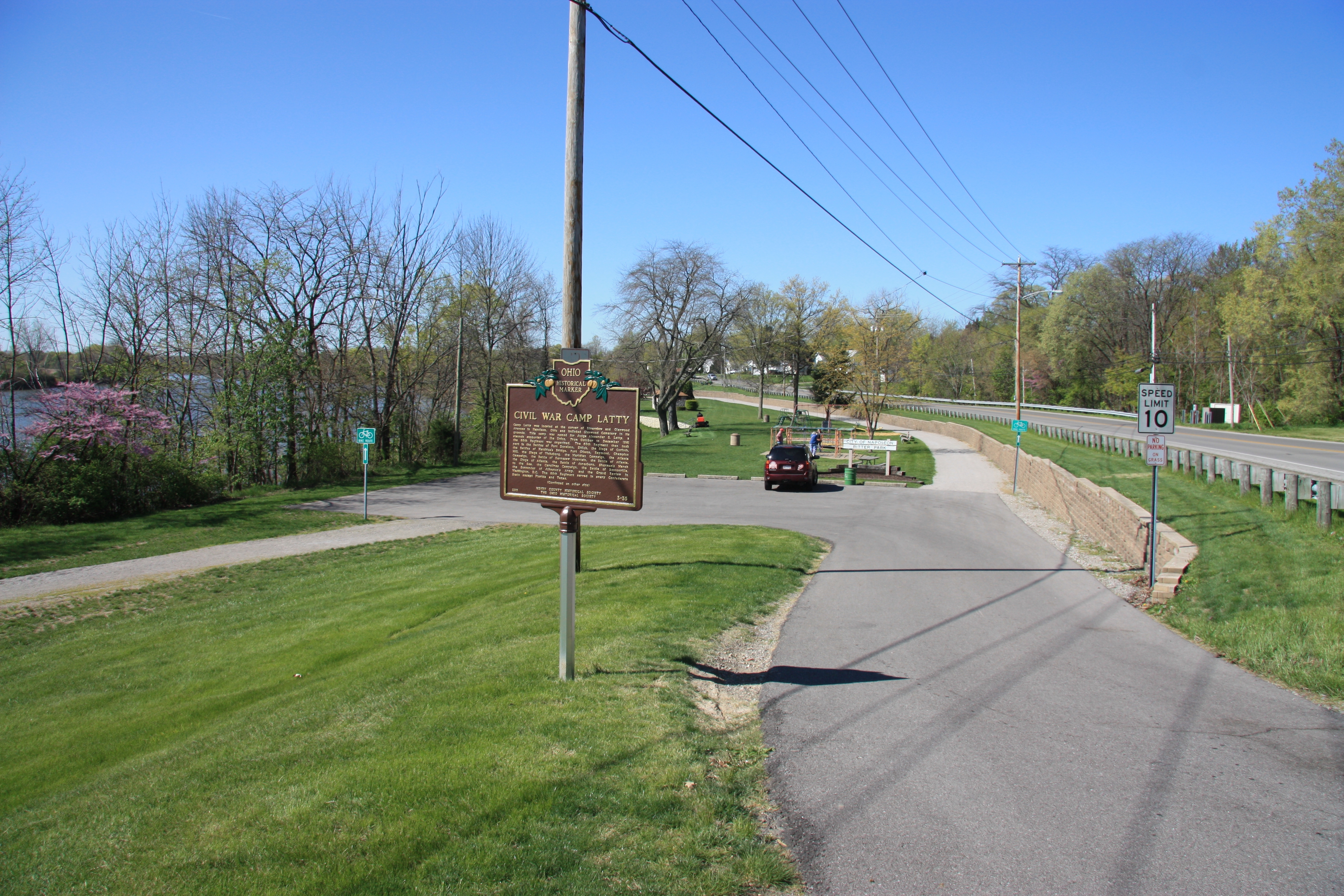
Civil War Camp Latty Marker | Additional Description: A more distant view of the historic marker situated on the high ground along the park entrance driveway, looking down into Ritter Park, with State Route 424 seen along the right side of the picture and the Maumee River on the distant left side.
Submitted: April 18, 2012, by Dale K. Benington of Toledo, Ohio.
Database Locator Identification Number: p200871
File Size: 6.166 Megabytes
To see the metadata that may be embedded in this photo, sign in and then return to this page.