Photograph as originally submitted to
this page in the Historical Marker Database
www.HMdb.org.
Click on photo to resize in browser. Scroll down to see metadata.
Photographer: Bill Coughlin
Taken: April 23, 2007
Caption:
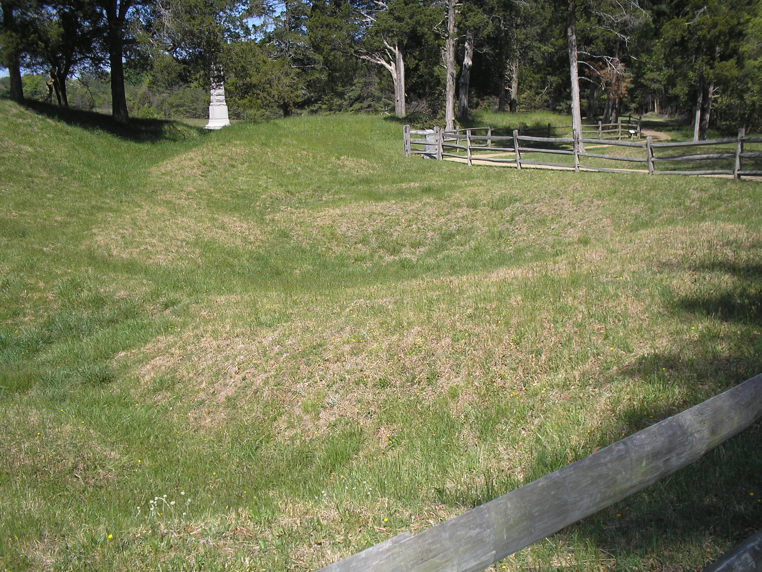
Site of the Crater | Additional Description: The depression made when the Federals exploded a mine under the Confederate lines on July 30, 1864 is still visible today. The South Carolina marker can be seen along the fence in the upper right of the photo.
Submitted: March 29, 2008, by Bill Coughlin of Woodland Park, New Jersey.
Database Locator Identification Number: p20182
File Size: 3.284 Megabytes
To see the metadata that may be embedded in this photo, sign in and then return to this page.