Photograph as originally submitted to
this page in the Historical Marker Database
www.HMdb.org.
Click on photo to resize in browser. Scroll down to see metadata.
Photographer: Craig Swain
Taken: February 9, 2008
Caption:
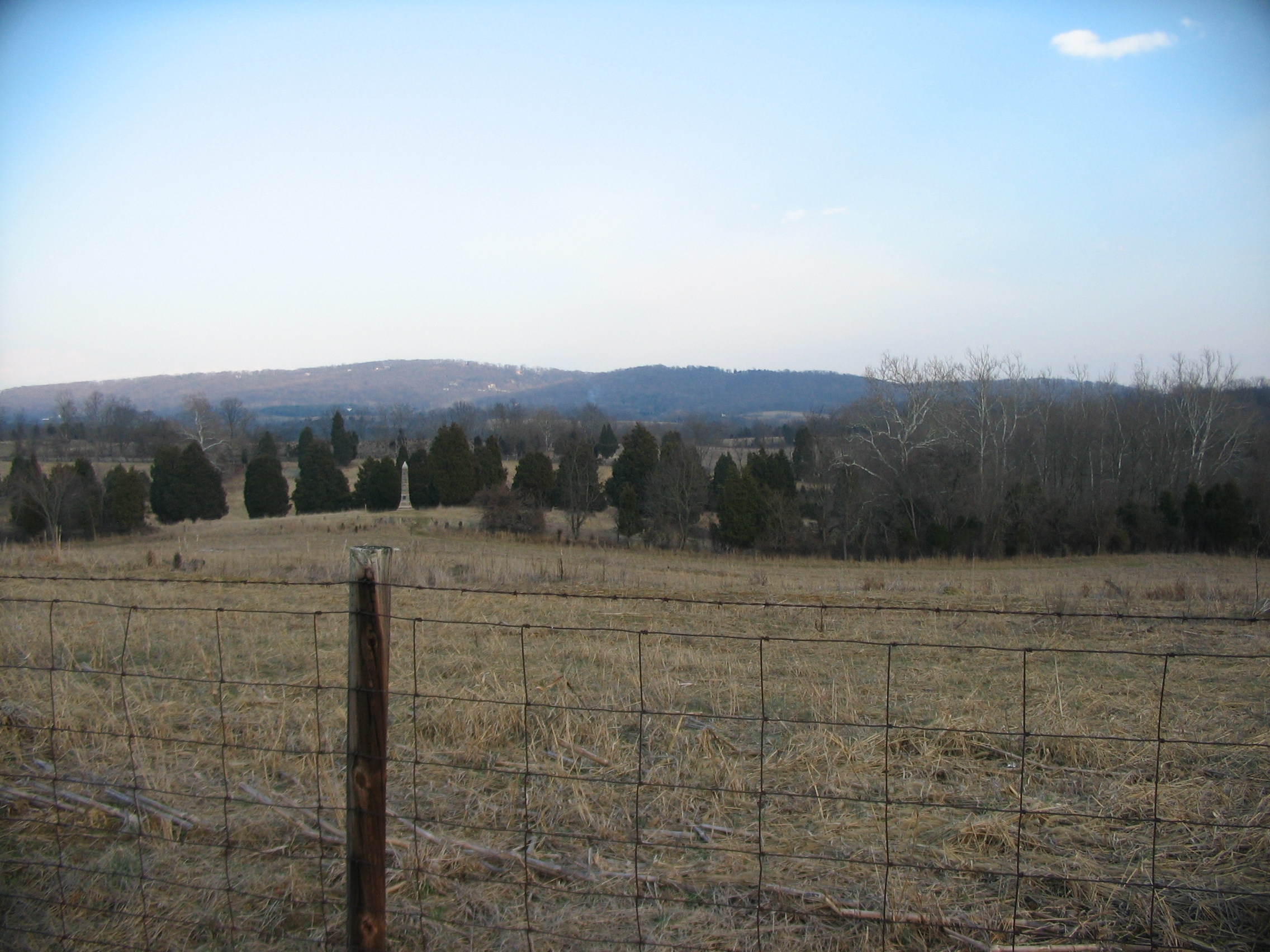
Battery Location | Additional Description: Looking east from the tablet, with the 16th Connecticut Infantry Monument in the line of sight. Following out from that point is the location of Burnside Bridge, covered by the ridge line with trees. Through the trees is a set of barren low ridges, appearing as green bands. The battery was located on an elevation there to overlook the Burnside Bridge. In effect, Battery G was acting as the last line of defense, should the Confederate counterattack break the Federal lines.
Submitted: March 30, 2008, by Craig Swain of Leesburg, Virginia.
Database Locator Identification Number: p20199
File Size: 0.993 Megabytes
To see the metadata that may be embedded in this photo, sign in and then return to this page.