Photograph as originally submitted to
this page in the Historical Marker Database
www.HMdb.org.
Click on photo to resize in browser. Scroll down to see metadata.
Taken: April 28, 2012
Caption:
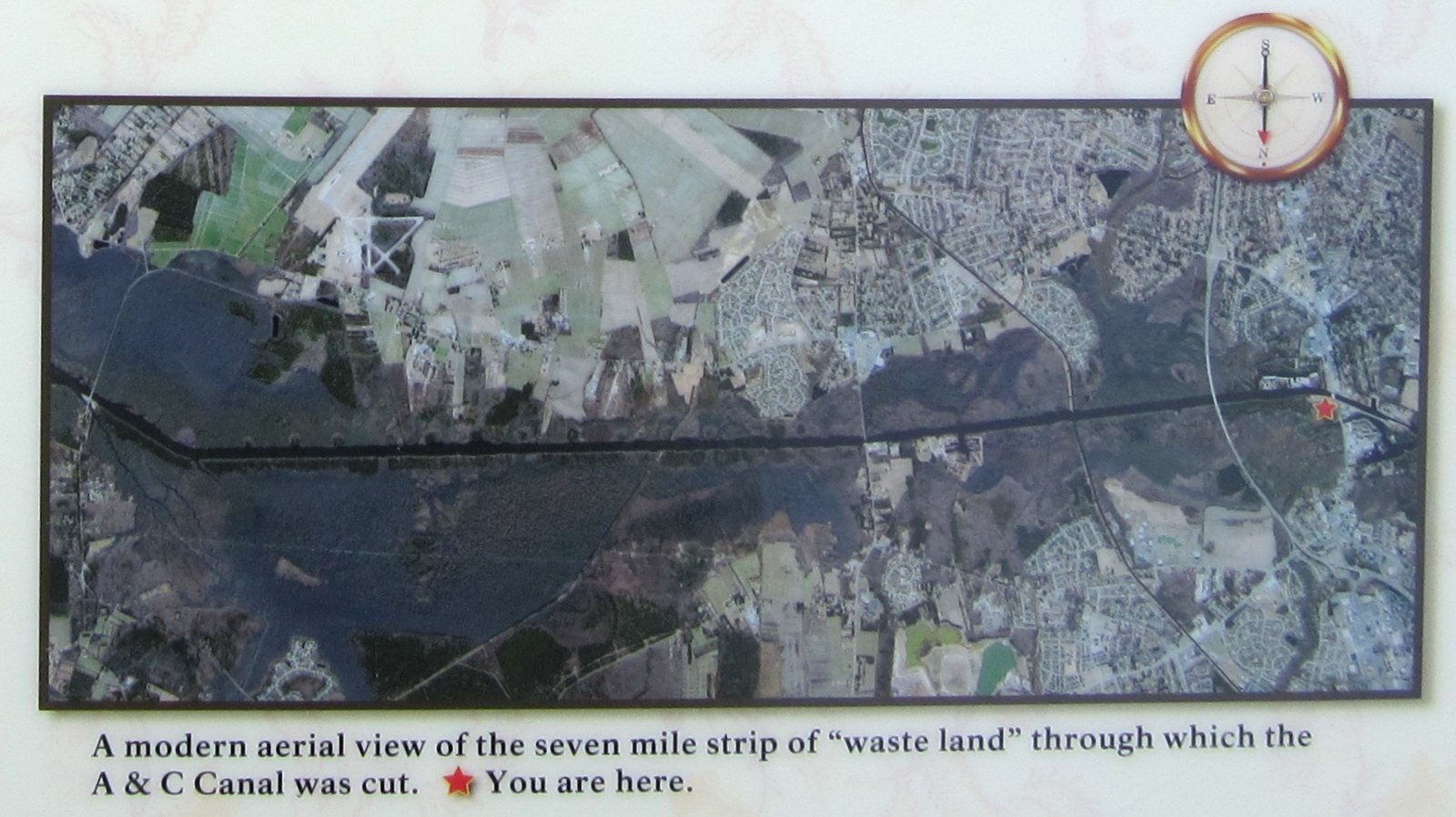
Orientation Overview | Additional Description: A modern aerial view of the seven mile strip of “waste land” through which the A&C Canal was cut. *You are here.
Submitted: April 29, 2012, by Bernard Fisher of Richmond, Virginia.
Database Locator Identification Number: p202242
File Size: 0.303 Megabytes
To see the metadata that may be embedded in this photo, sign in and then return to this page.