Photograph as originally submitted to
this page in the Historical Marker Database
www.HMdb.org.
Click on photo to resize in browser. Scroll down to see metadata.
Photographer: Richard Wisehart
Taken: March 21, 2008
Caption:
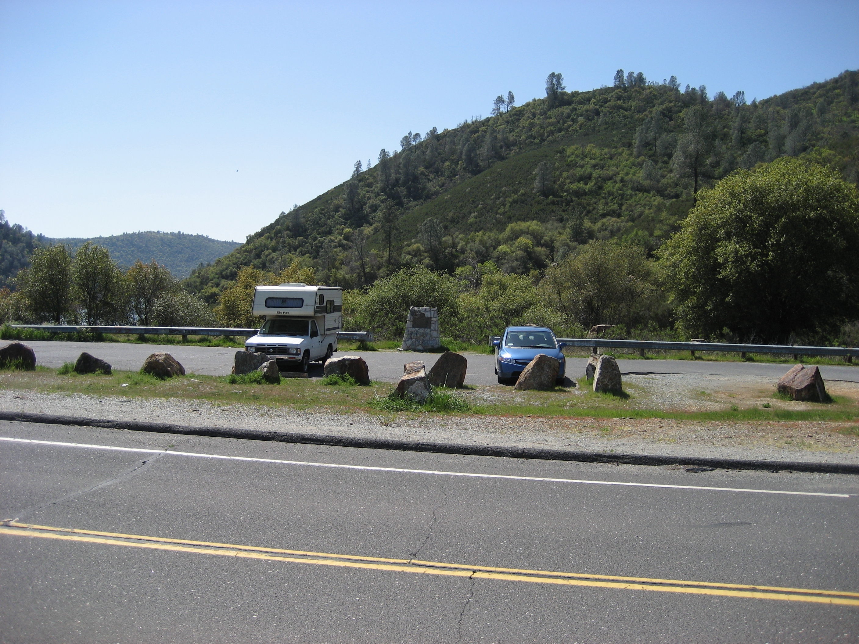
Parrott's Ferry area and Mark Twain Bret Harte Trail Marker | Additional Description: View is westerly. New Melones Reservoir lies immediately south (left). The town of Columbia is approximately 5.0 miles south (left); the town of Vallecitos is approximately 5.0 miles north (right).
Submitted: April 2, 2008, by Richard Wisehart of Sonora, California.
Database Locator Identification Number: p20498
File Size: 3.372 Megabytes
To see the metadata that may be embedded in this photo, sign in and then return to this page.
 area and Mark Twain Bret Harte Trail Marker' hspace=0 vspace=0 border=0>