Photograph as originally submitted to
this page in the Historical Marker Database
www.HMdb.org.
Click on photo to resize in browser. Scroll down to see metadata.
Photographer: Craig Swain
Taken: April 7, 2012
Caption:
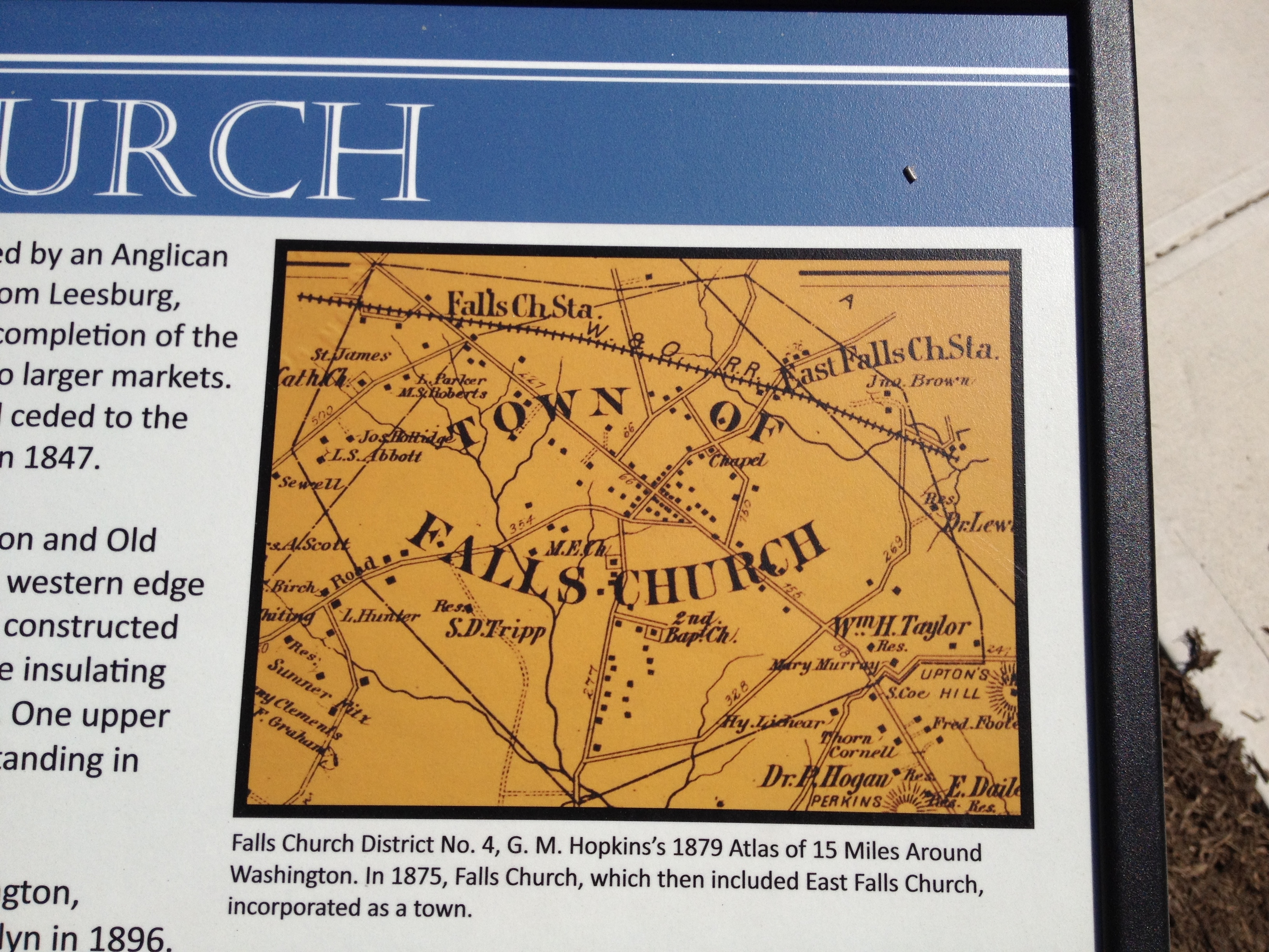
East Falls Church Map | Additional Description:
Falls Church District No. 4, G.M. Hopkins's 1879 Atlas of 15 Miles Around Washington. In 1875, Falls Church, which then included East Falls Church, incorporated as a town.Submitted: June 3, 2012, by Craig Swain of Leesburg, Virginia.
Database Locator Identification Number: p206128
File Size: 3.132 Megabytes
To see the metadata that may be embedded in this photo, sign in and then return to this page.