Photograph as originally submitted to
this page in the Historical Marker Database
www.HMdb.org.
Click on photo to resize in browser. Scroll down to see metadata.
Photographer: Craig Swain
Taken: March 29, 2008
Caption:
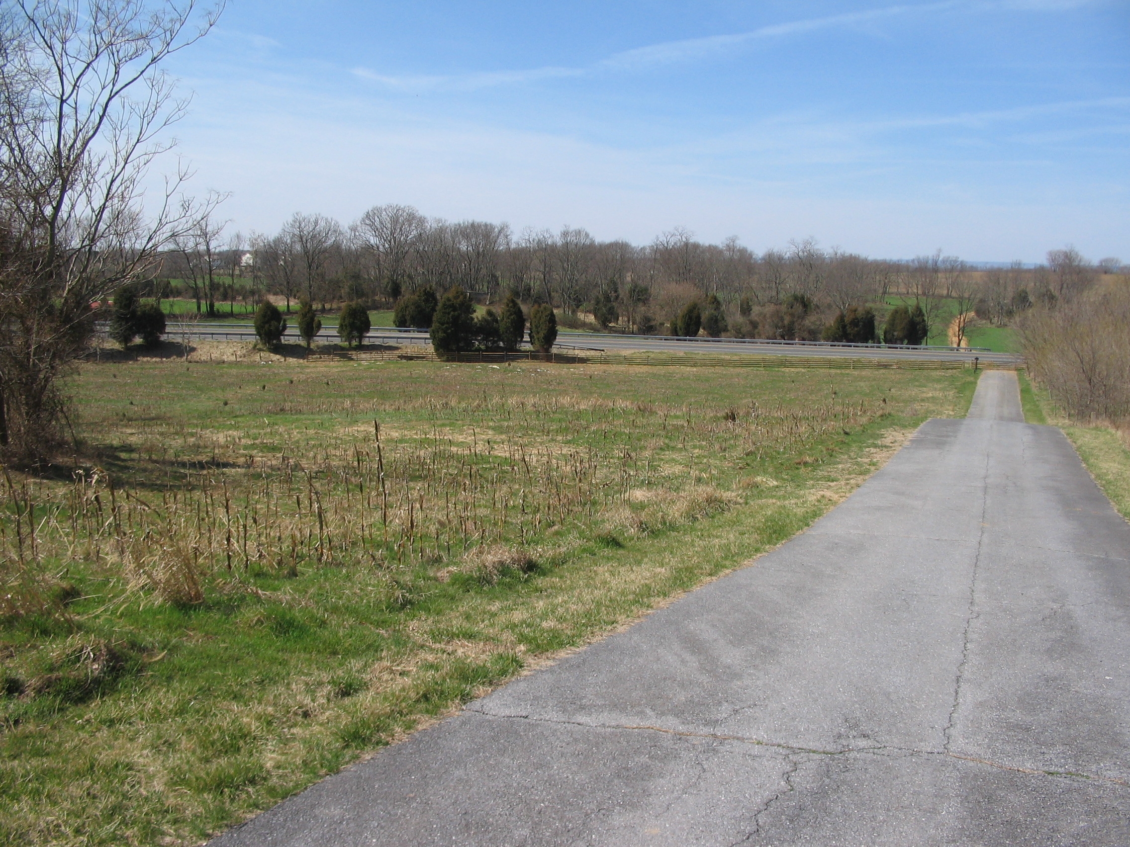
McLaws' Division Advances | Additional Description: Looking west down the Smoketown Road, at a point west of the Dunker Church. In the far distance is Hauser Ridge. The extension to the road did not exist at the time of the battle, and this area was part of the West Woods. McLaws' Division advanced up to the wood line, which stood roughly where the bypass runs. Kershaw's Brigade continued forward toward the camera, but Barksdale's and Semmes' Brigades turned to the north (right) into the middle of the woods. Cobb's Brigade was further south, close to the intersection of the Sunken Road and the Hagerstown Pike. Later, near mid-day, the division would reform along the rock ledges just this side of the modern bypass.
Submitted: April 4, 2008, by Craig Swain of Leesburg, Virginia.
Database Locator Identification Number: p20701
File Size: 1.409 Megabytes
To see the metadata that may be embedded in this photo, sign in and then return to this page.