Photograph as originally submitted to
this page in the Historical Marker Database
www.HMdb.org.
Click on photo to resize in browser. Scroll down to see metadata.
Photographer: R. C.
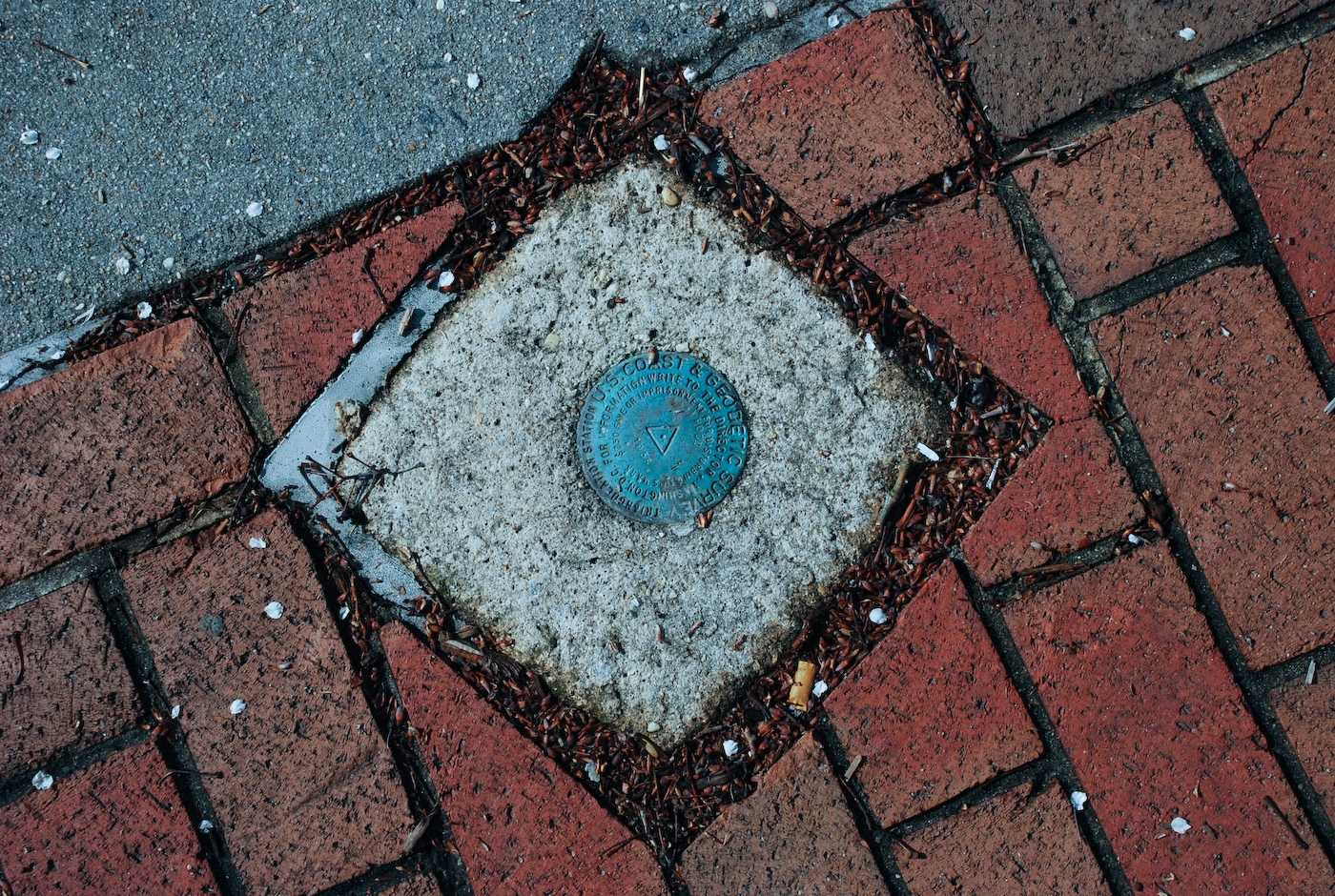
Caption:
U.S. Geodetic Survey Marker on Former Court House Plaza | Additional Description: The former court house in Freehold, New Jersey is the historical center of Monmouth County. Before the town was know as Freehold Township, it was indicated on maps as "Monmouth Courthouse."
Submitted: April 13, 2008, by Ronald Claiborne of College Station, Texas.
Database Locator Identification Number: p21264
File Size: 2.101 Megabytes
To see the metadata that may be embedded in this photo, sign in and then return to this page.