Photograph as originally submitted to
this page in the Historical Marker Database
www.HMdb.org.
Click on photo to resize in browser. Scroll down to see metadata.
Photographer: Cosmos Mariner
Taken: June 29, 2010
Caption:
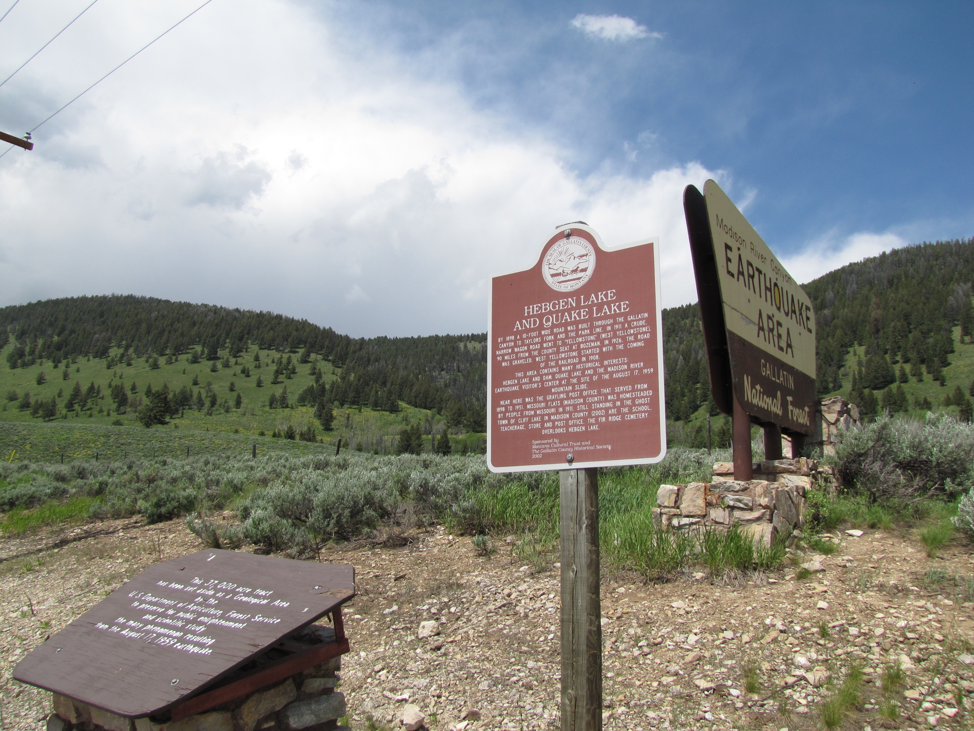
Madison River Canyon Earthquake Area | Additional Description: Three signs along US Highway 287 mark the east entrance to the Madison Canyon Earthquake Area. This area includes Hebgen Lake, Earthquake Lake, the Ghost Town of Cliff Lake, the Refuge Point memorial marker, the Madison Canyon Landslide Dam (created by the earthquake), and the Madison River Earthquake Visitor's Center.
Submitted: August 15, 2012, by Cosmos Mariner of Cape Canaveral, Florida.
Database Locator Identification Number: p215586
File Size: 4.842 Megabytes
To see the metadata that may be embedded in this photo, sign in and then return to this page.